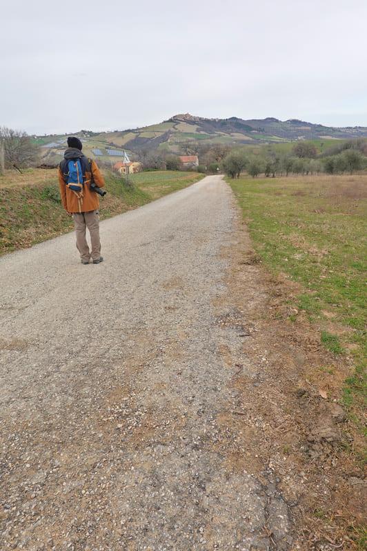
For the bravest out there, here is a hike that Isabelle and her husband Erik made in early (cold) February. She suggests not trying it on a hot summer day, because you wouldn’t find shade anywhere. Better on a cool sunny June day.
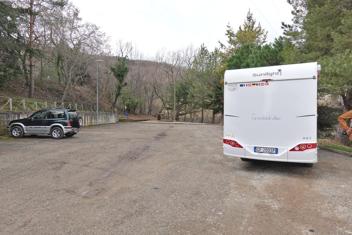
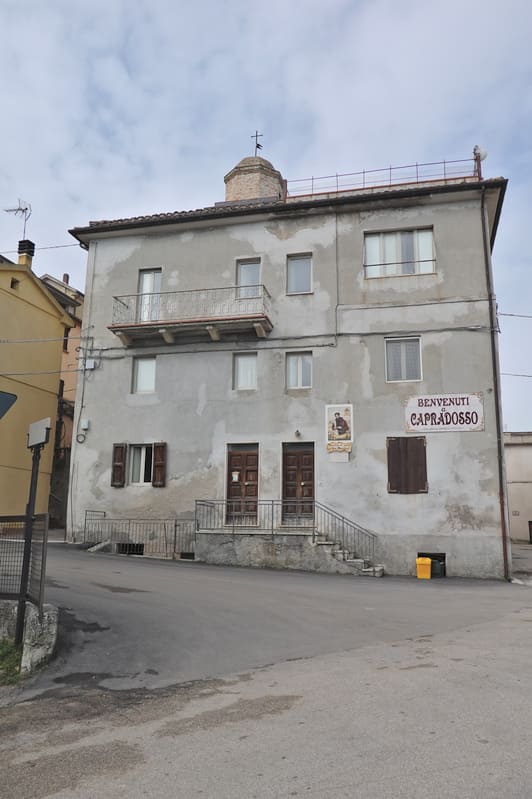
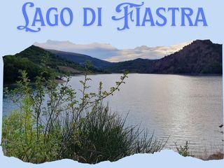
Isabelle and Erik are exploring Le Marche on their brand new camparvan, and this time they parked in the village of Capradosso.
Pope Clement XII ordered the construction of this village in 1730 near the ancient village of Capradosso, which had been completely destroyed by earthquakes and skirmishes. As a result, the archives and the important historical witnesses of the original hamlet disappeared. An ancient story says that the inhabitants of Ascoli, who fled from the Lombards in the 4th and 5th centuries, founded the original Capradosso. The other story attributes its origins to monks around the year 1000.
Here is what Isabelle and Erik experienced:
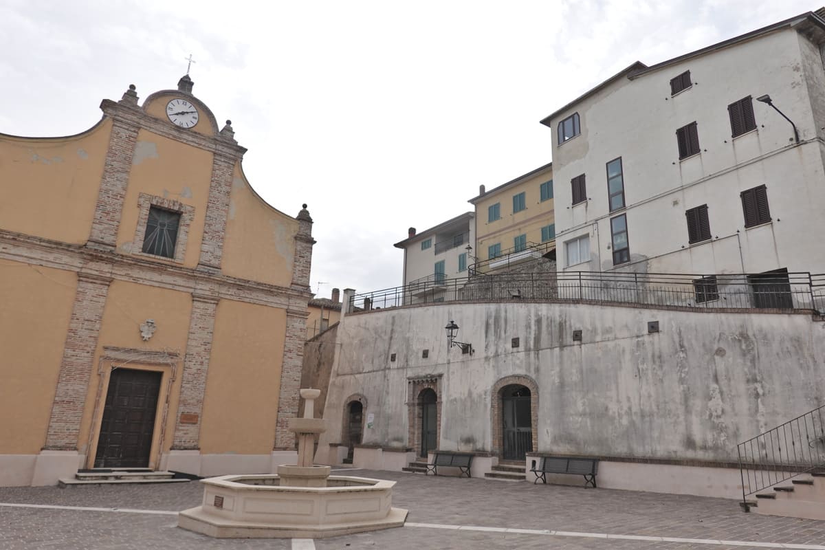
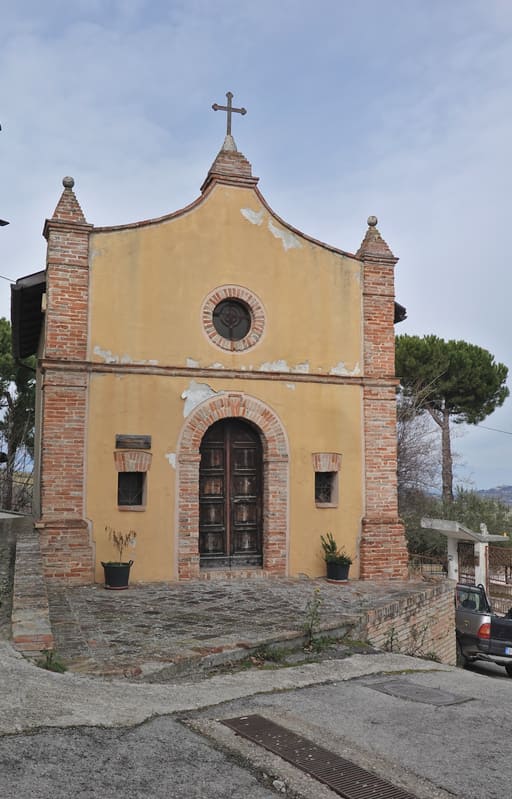
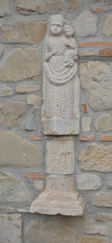
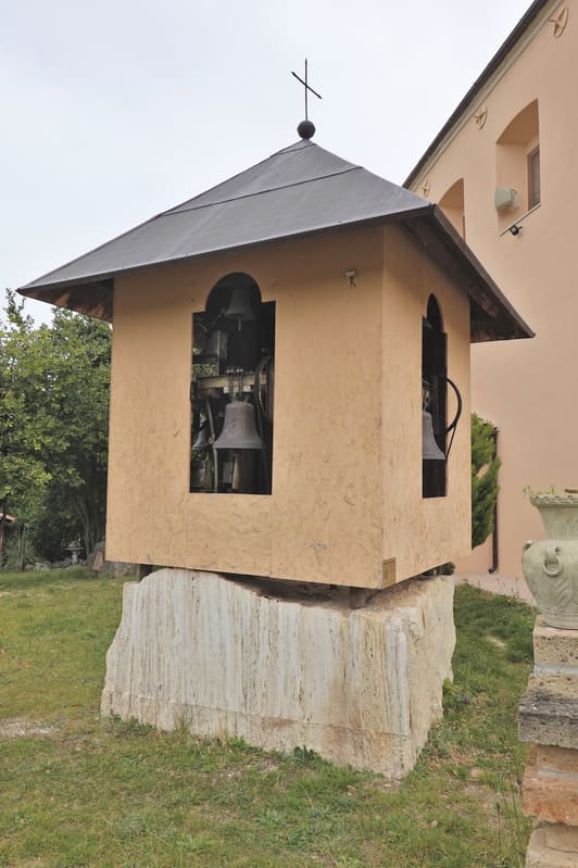
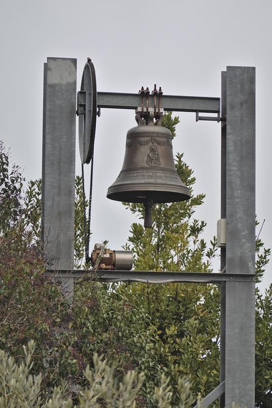
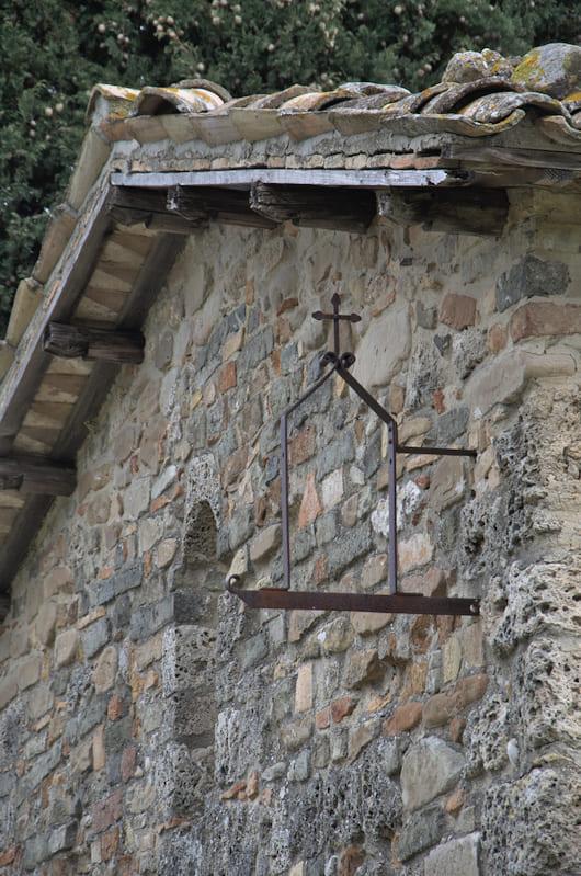
“Before starting our walk, we meandered through the small village, meeting no one. But judging by the cars, it is still inhabited. We first came across the Santa Lucia church at the piazza and where we started our walk, the San Rocco church.


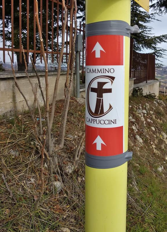
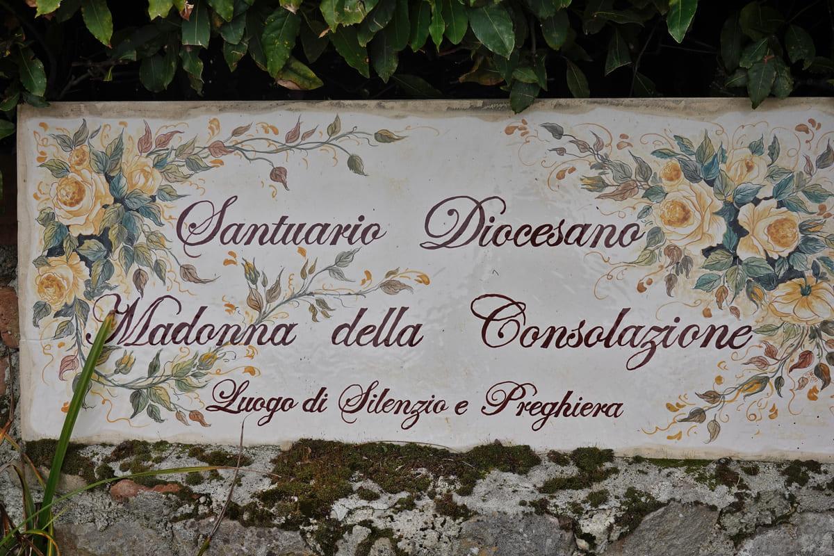
Just outside the village we turned right, on the way to the pilgrimage church Santuario della Madonna della Conciliazione o di Montemisio. We noticed on a sign that we even covered part of the Cammino Cappuccini. A walking route that goes 400km through Le Marche from Fossombrone to Ascoli Piceno. Recently founded and signposted, about which we will certainly report in the future. More info in English on the multilingual website.
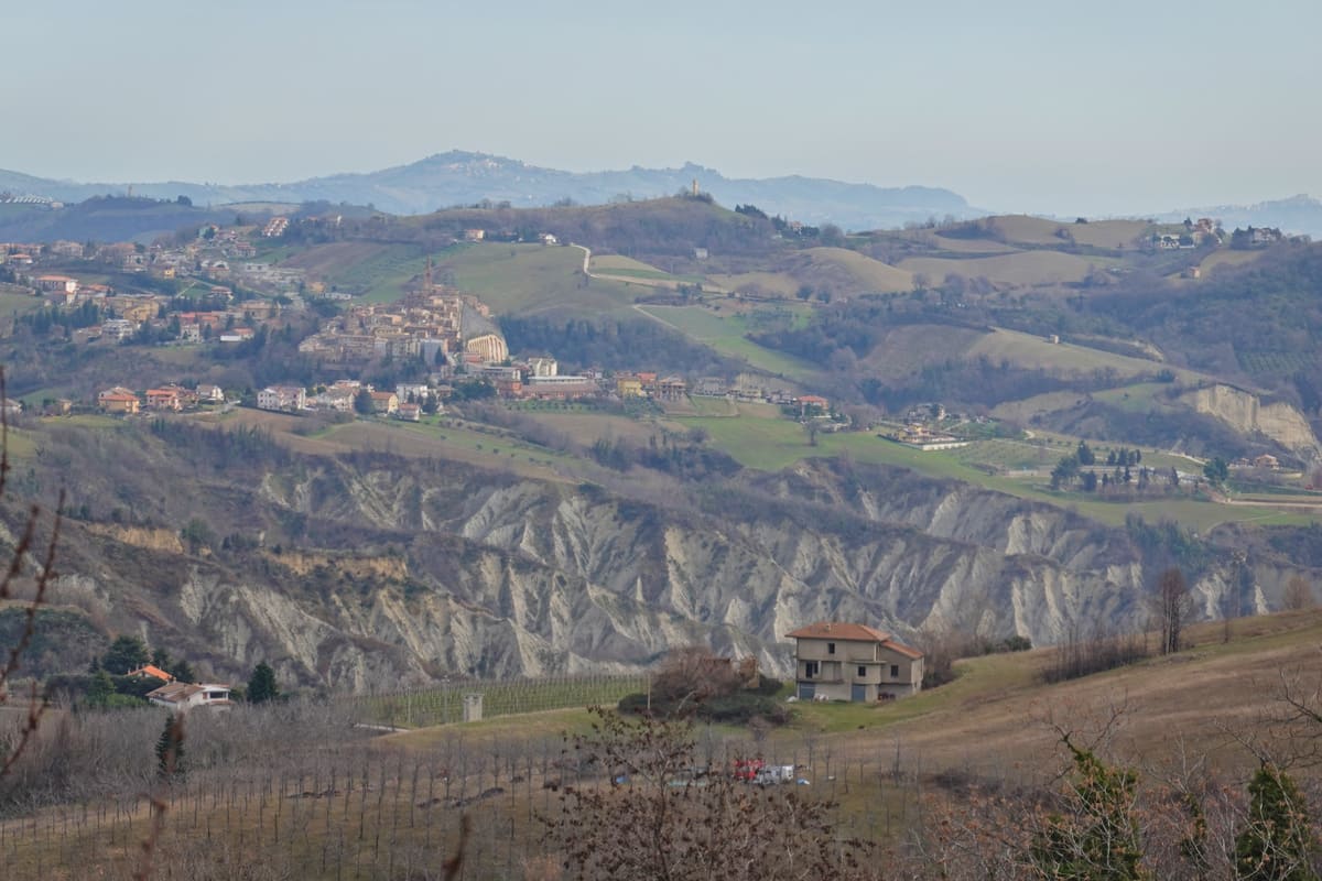
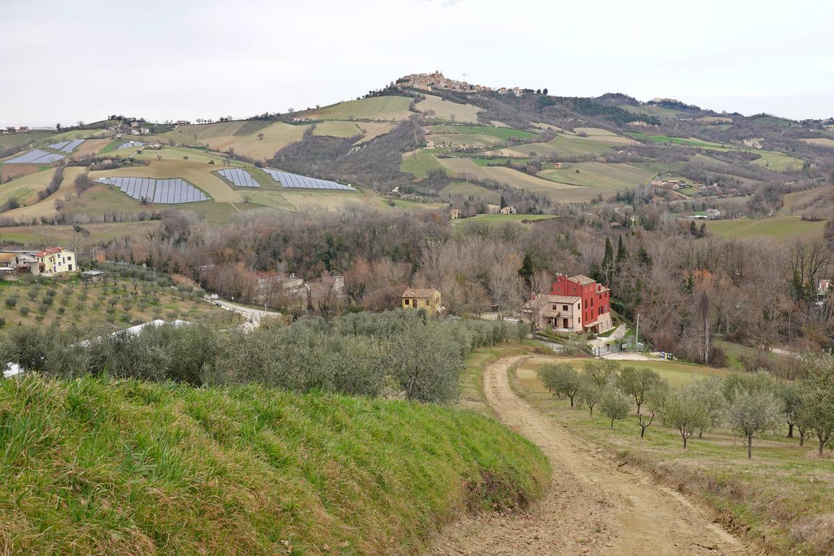
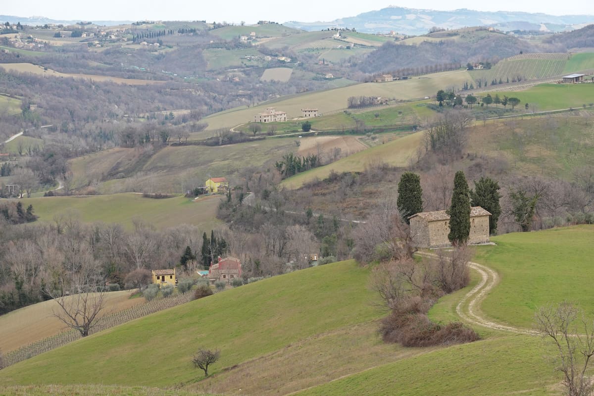
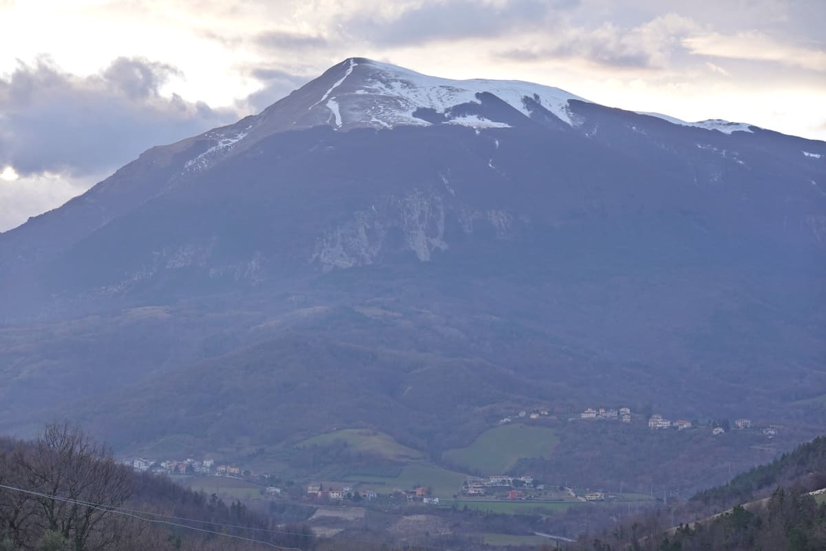
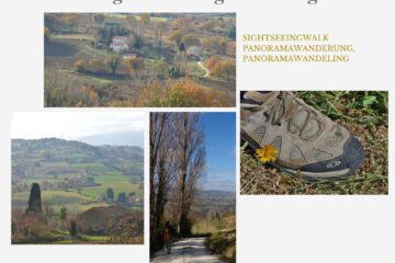
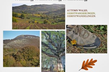
Despite the somewhat gloomy weather, we enjoyed the landscape, the panoramas and the olive groves.

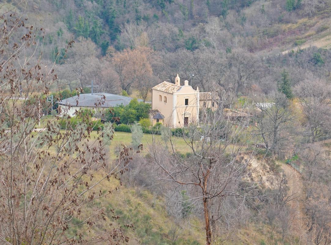
We saw the sanctuary from afar. The current historic building dates from 1782, but the monks of Farfa (in the Lazio region) are said to have built a monastery before that as early as the 14th century. It is even believed on the foundations of a temple dedicated to Artemis.
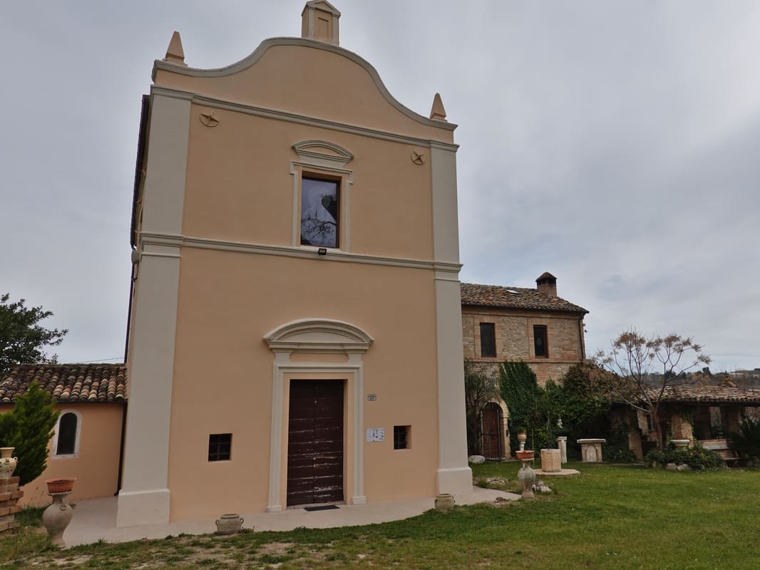
Legend has it that in 1816, during a great drought, people went on a pilgrimage to pray for rain. This happened as a result of which Maria is once more honored here on 15 August.
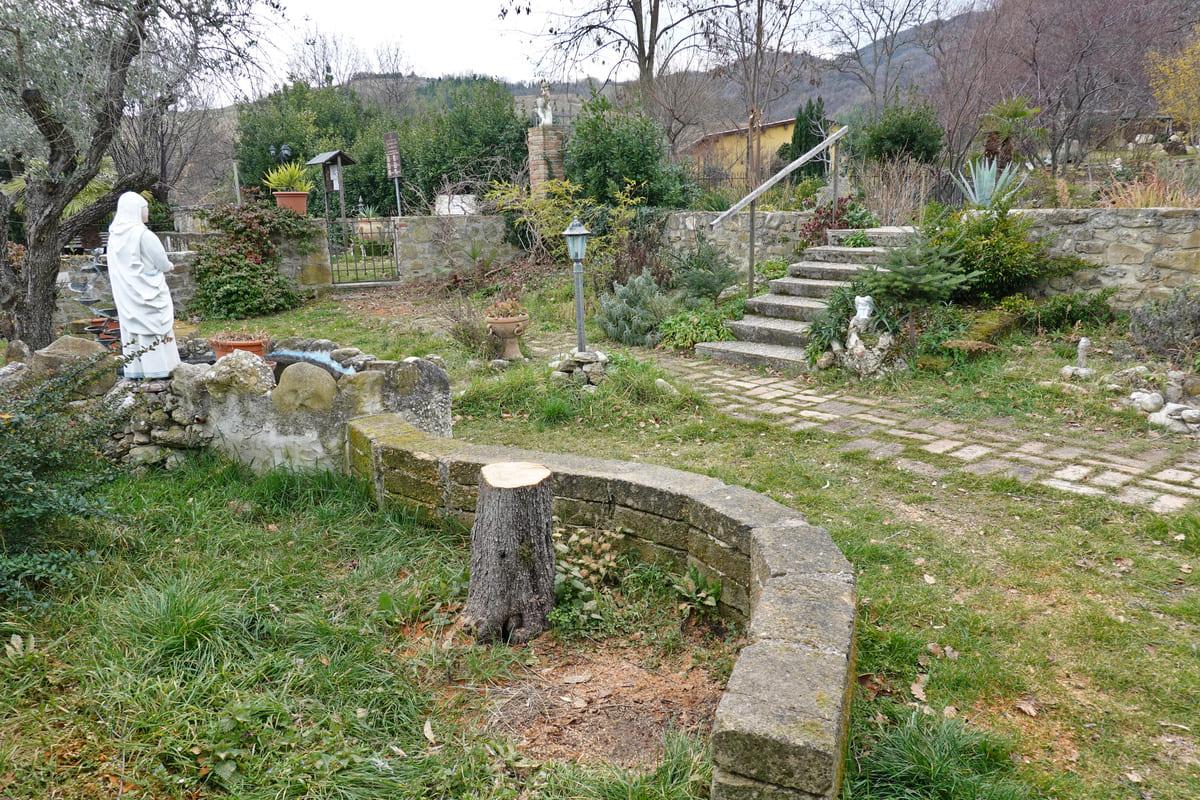
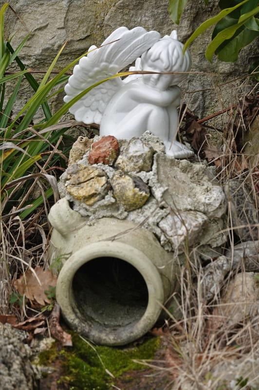
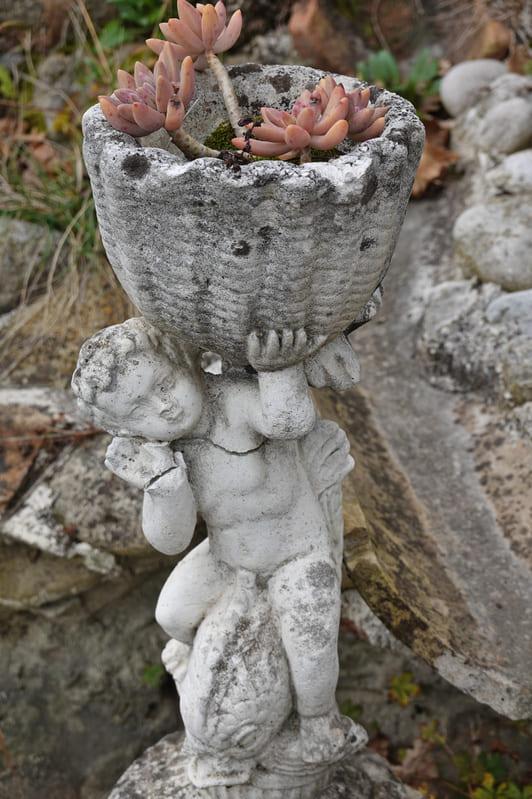
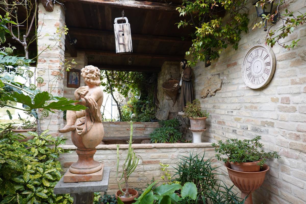
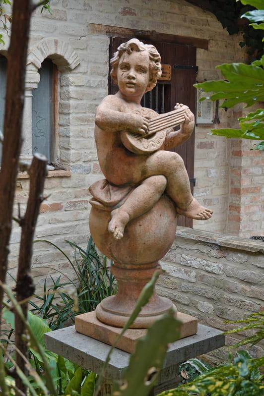
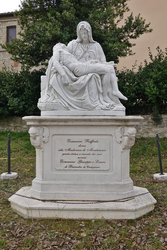
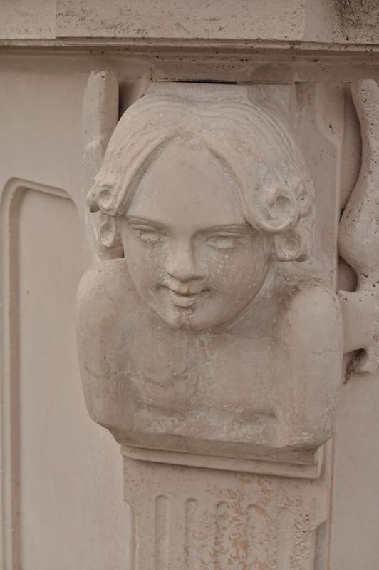
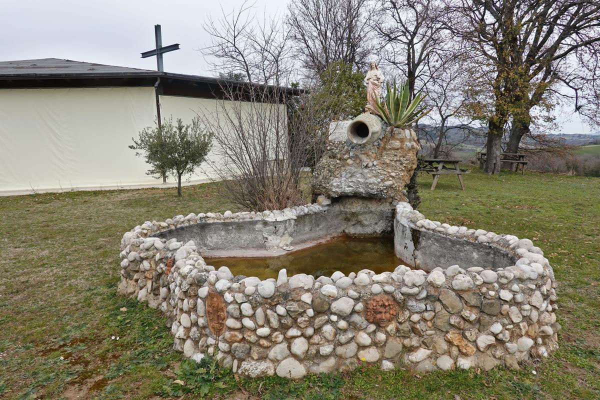
In the 1980s, the young dynamic priest Don Angelo Ciancotti took charge of the church. He rolled up his sleeves and restored the church and all outbuildings. Nowadays you can retreat, eat and explore the special garden; the priest provided many religious statues, ponds, walking paths, but animals were also included.


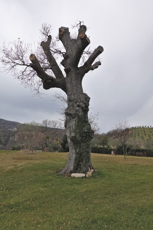
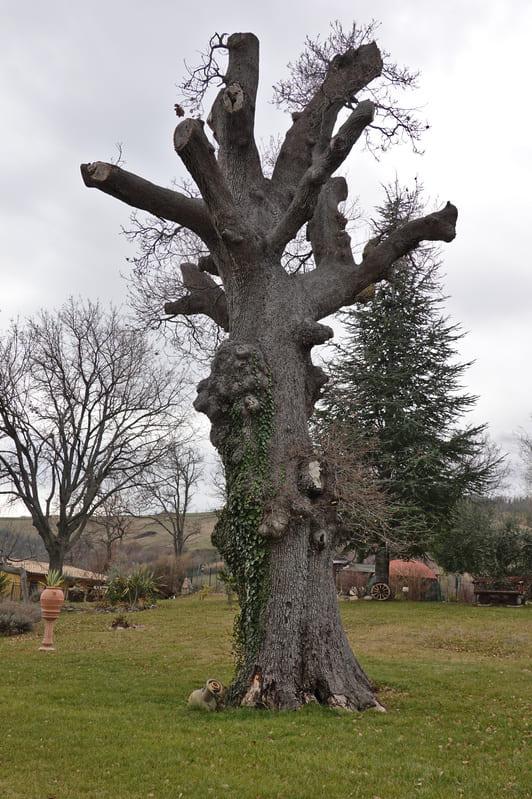
The fame of the place also consists of the 400-year-old oak. This was once part of an oak forest, which was removed for the construction of the Adriatic railway line. Only this oak was allowed to stay. In 1920 the then priest decided to have the oak cut down after all. The first capping took place, but due to the protest of the then furious inhabitants of Capradosso and the surrounding area, the whole event was canceled!
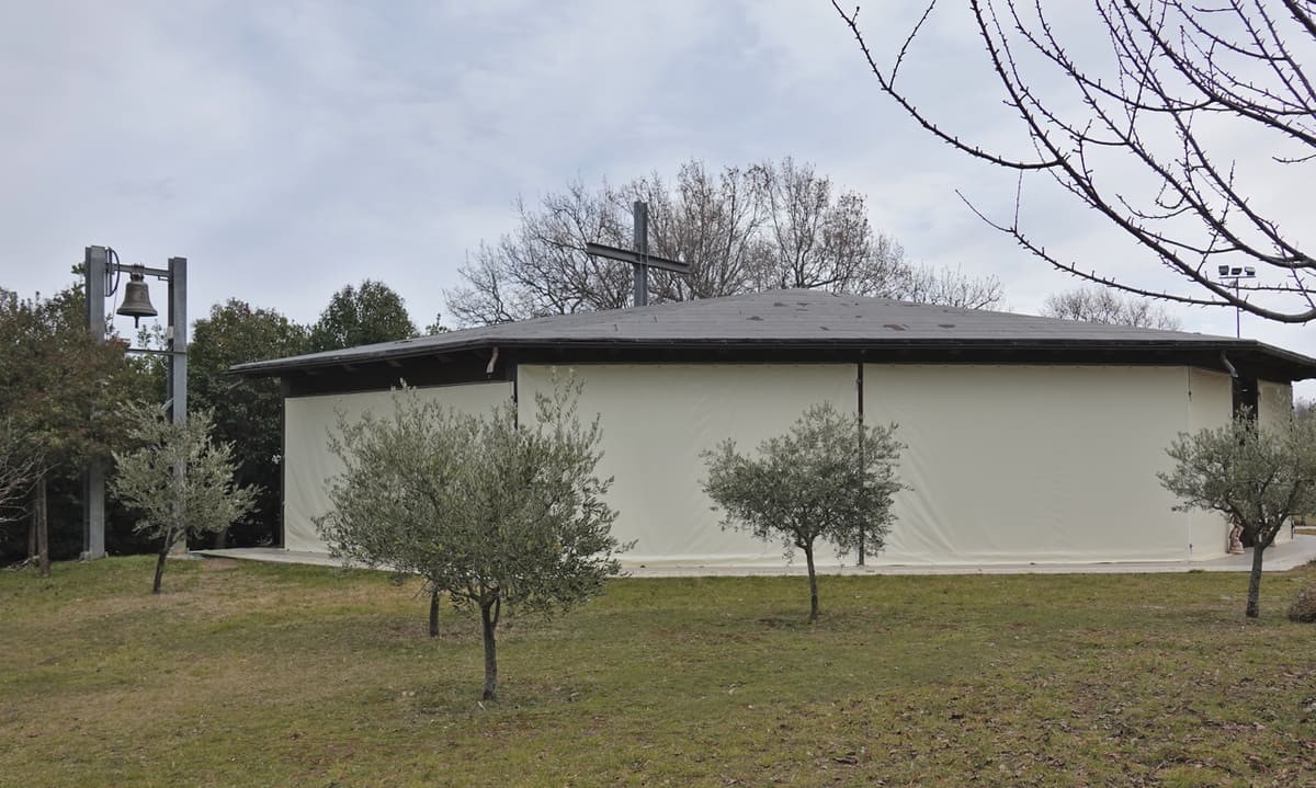
Outside the domain we saw an ugly prefab church, noting that this was a temporary place of worship. Perhaps the other church was somewhat damaged by the earthquakes of 2016? Unfortunately we couldn’t ask anyone as we were the only ones on site.
We left the place, really worth it! After this we followed the road until we took the first path on the left, the Contrada Torbidello.
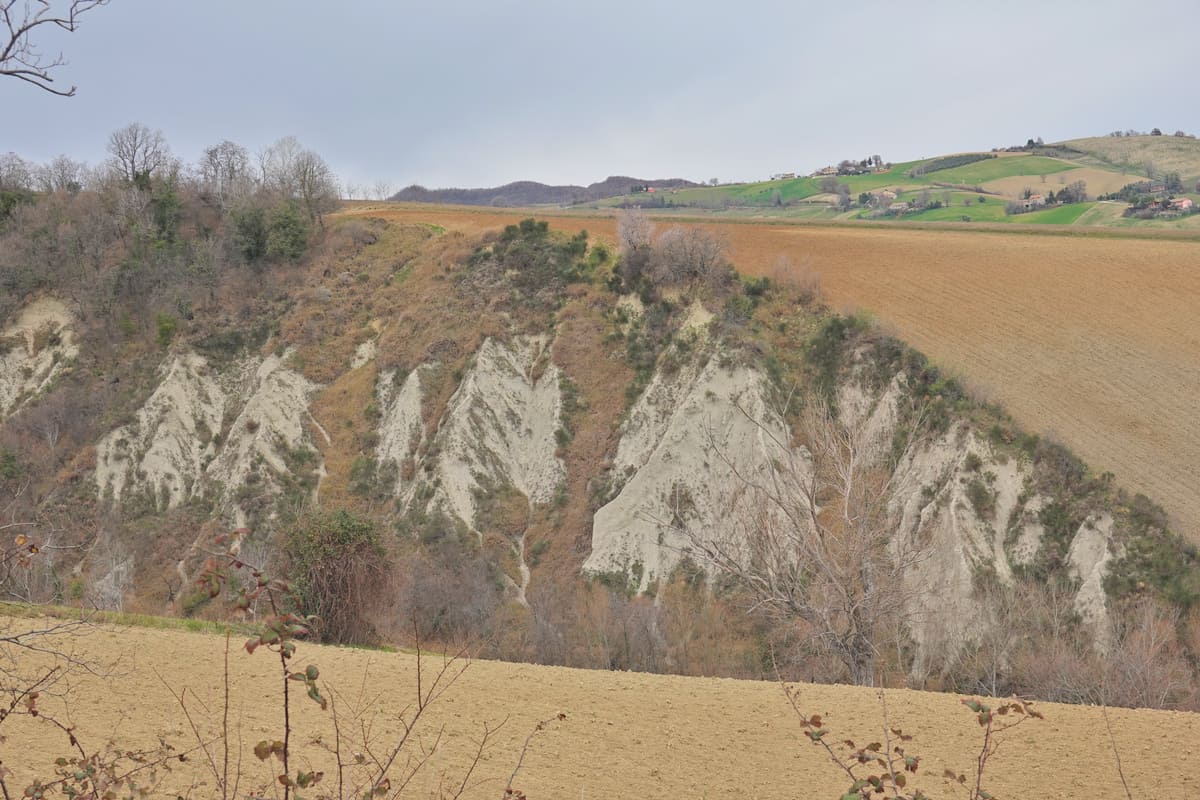
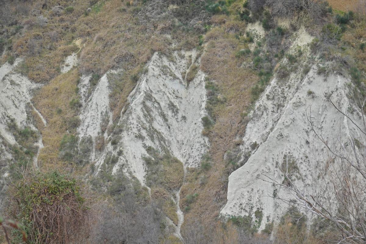
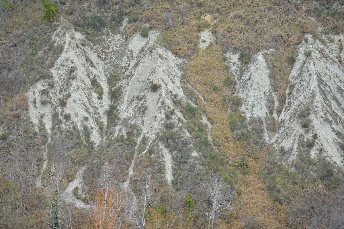
Here , the typical features of the region were the calanche (ravine) , deep incisions in the landscape caused by erosion .
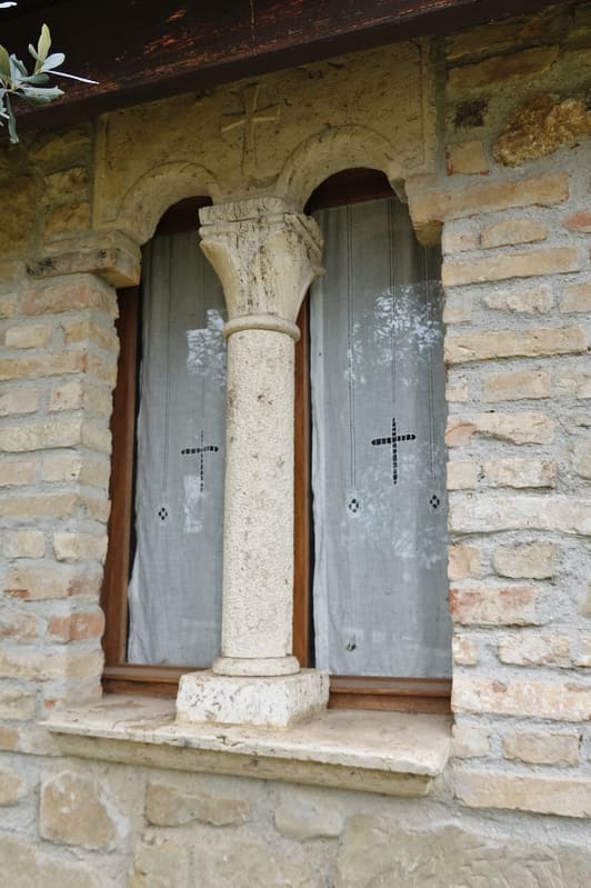
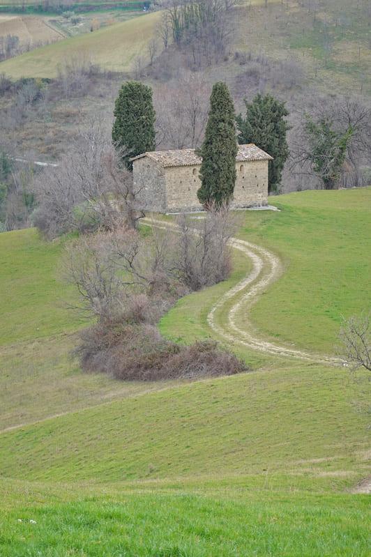
Then we again took the first road on the left, to end up at an old oratory, l’Oratorio del Verdente, from the 11th century. Mentioned in official documents in the 13th century and also owned by the monks of Farfa. A simple building intended as a shelter for farmers in bad weather, but also to pray for a while.

The name Verdente has two possible explanations: from aquas edaquas burdentes, the bubbling water that came out of the clay soil, or from viridis, which refers to the green landscape. Later burdentes or viridis would degenerate into verdente.


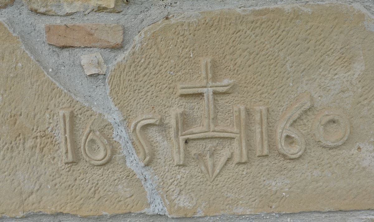
Between 1462 and 1463, the plague brought much disaster to the area. The survivors had a fresco cycle painted by the local artist Pietro Albanese as a thank you. Unfortunately only visible on special occasions. Images of these frescoes can be viewed on this website. Due to a restoration in the 1980s, they shine again.
Then we just followed the road, enjoying the sparse places to live and the landscapes. With a view of the highest mountain nearby, the Monte dell ‘Ascensione (1103m high)
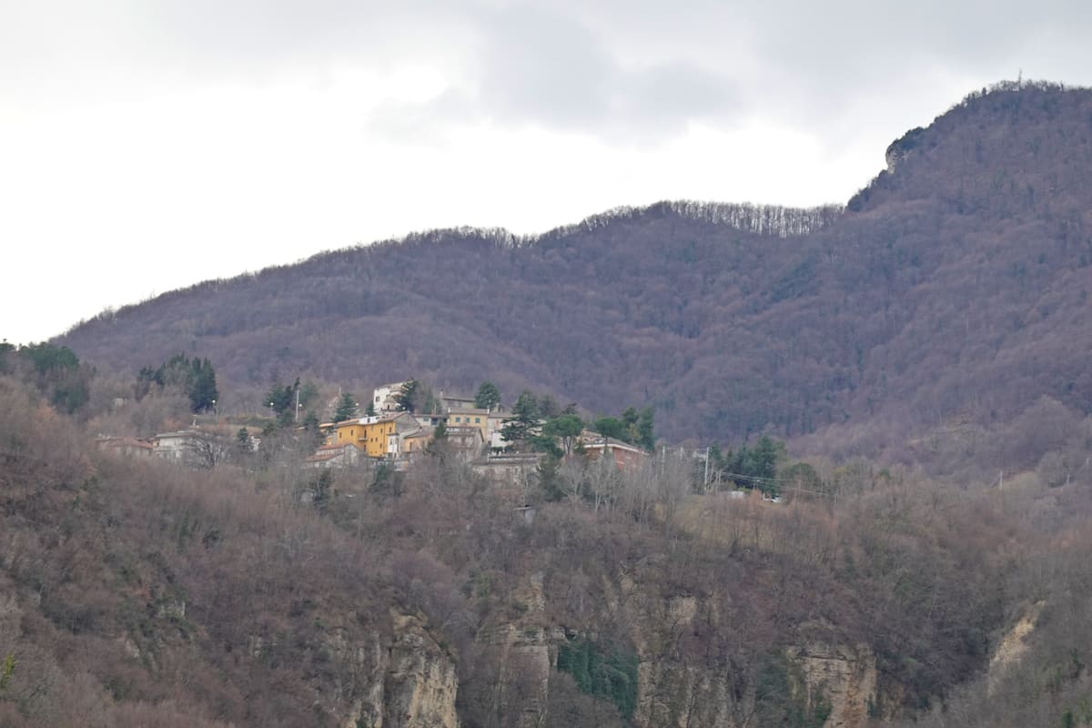
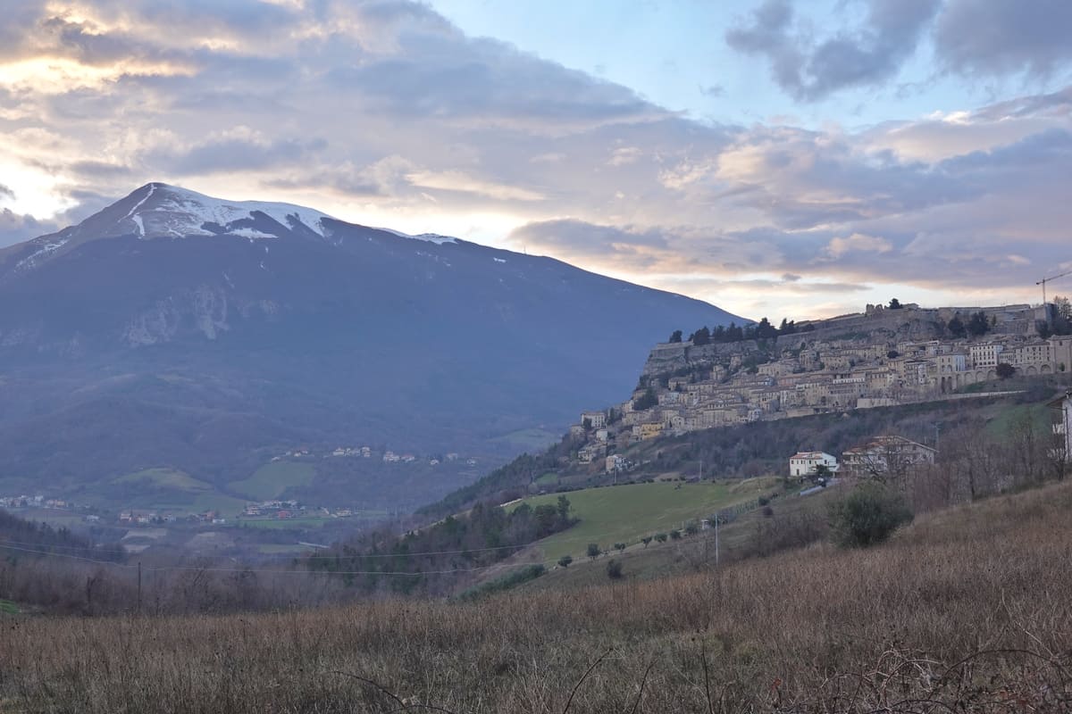
Finally we reached the village of Capradosso again, which by the way is known for its Sagra del Castagno, the chestnut festival in October.

On the map below you will find the complete route.
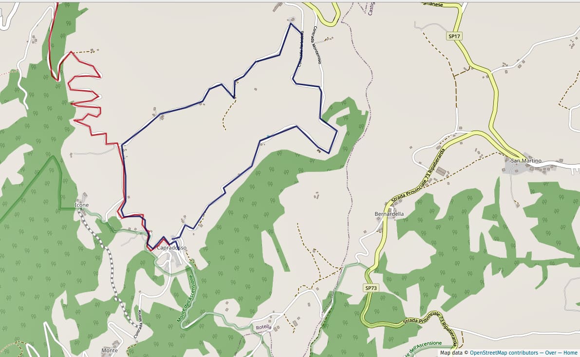
Departure coordinates on Googlemaps can be found here. A walk of about 11 km with a height difference of 220 meters.
Buona passeggiata !
0 Comments