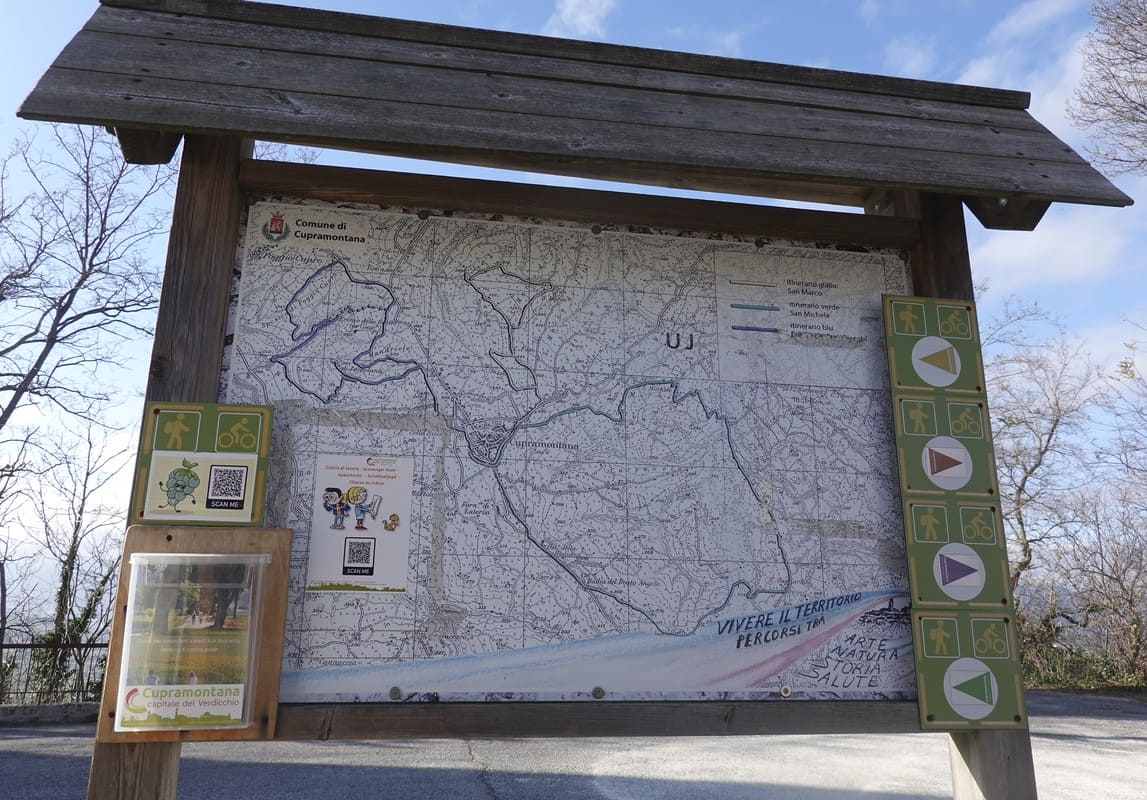
Cupramontana has 4 signposted walks, including a treasure hunt for children:
- the brown path or the panoramic route.
- the yellow path or the grape route or the children’s treasure hunt.
- the blue path or the monk route
- the green path or the Verdicchio route
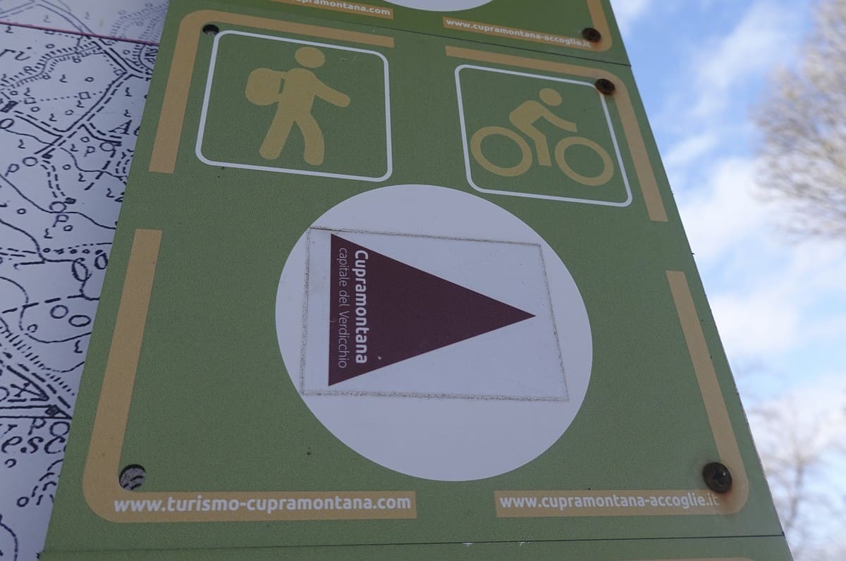
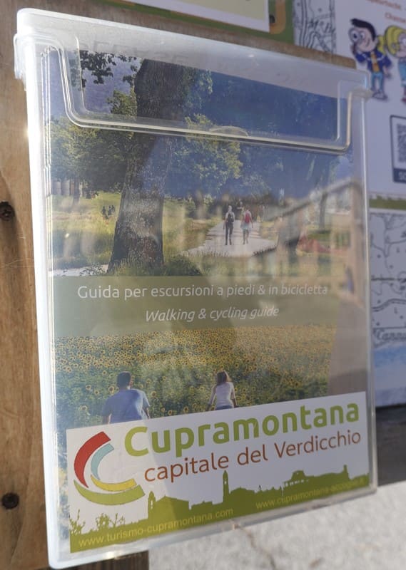
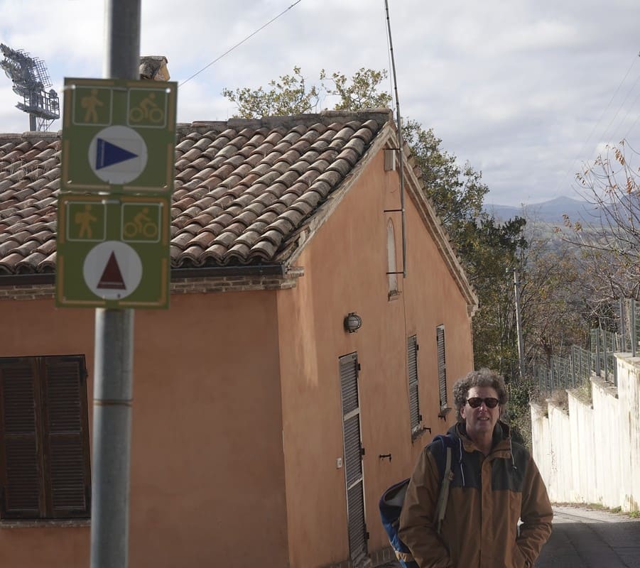
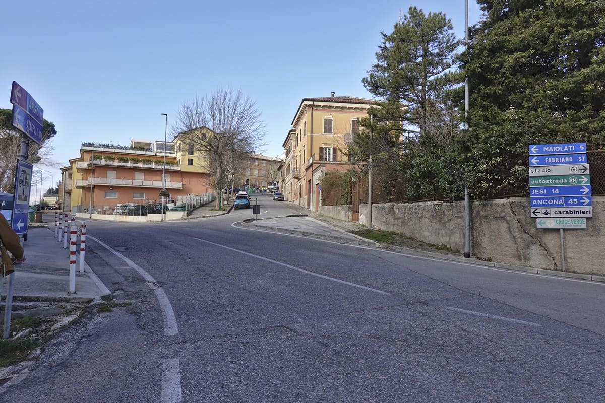
All depart from the water house at Via Alcide de Gasperi 41 in Cupramontana, where there is also a large parking lot. The signpost arrows have the color of the relevant route. At the departure point you will also find a walking guide with a description of the route or, during the tourist season, you can ask the guide brochure at the tourist office. Or you download it from this site.
If you are looking for some relaxing activities, I would suggest you pick just a random one. All of them are surrounded by nature and silence. Perfect escape away from the noise and hectic daily life!
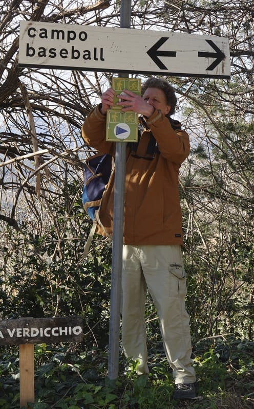
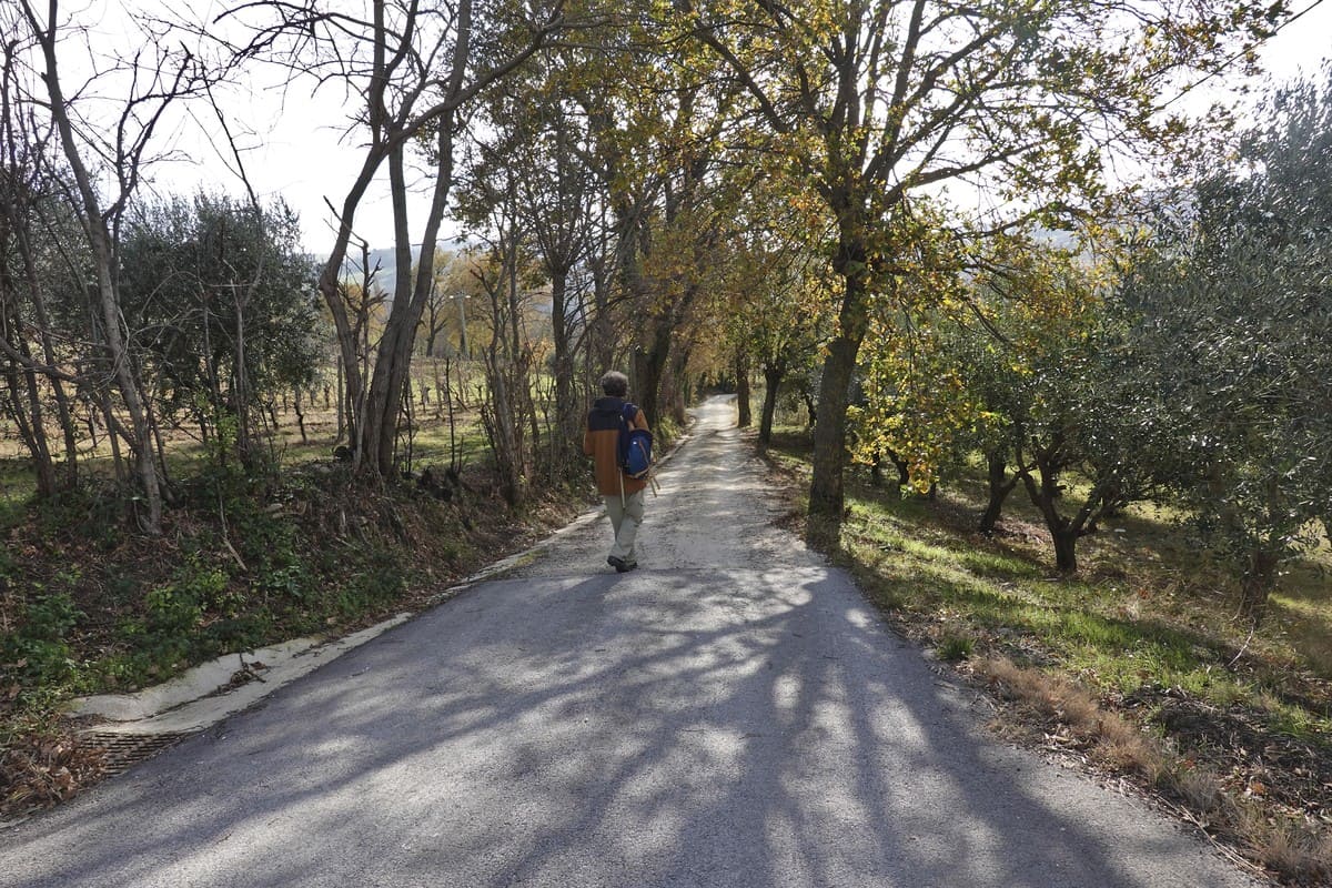
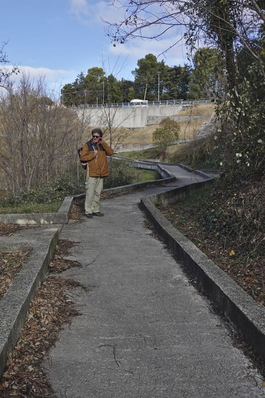
Isabelle and Erik chose the brown path, because they wanted to make a short trip! They followed the brown arrows to enjoy first panorama at the baseball field. Cupramontana probably has one of the most beautiful baseball fields in Italy, and in clear weather you can see a large part of the Appennine Mountains and even the Sibillini.
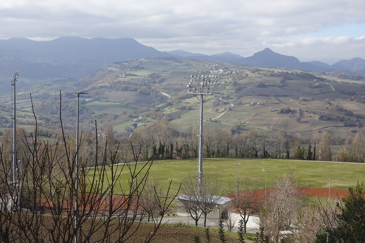
Such a small municipality with such a large sports field? In the 1980s, one of the residents Fabio Bartollucci traveled to Cuba, where he was introduced to this sport for the first time. Back home he was so enthusiastic that he introduced the sport to his hometown. One thing led to another.
In the summer, numerous important international/national baseball tournaments are organized. Unfortunately, the founder died a few years ago, so the stadium now bears his name. The new recent extension was named after a young player, Giordano Cimarelli, who died young.
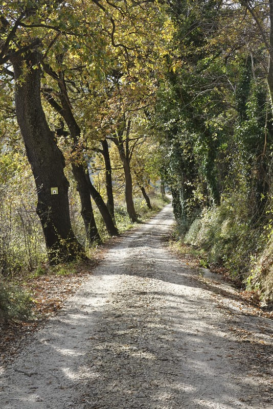
Our adventurers continue walking along the Strade Bianche, where the hiking trails occasionally overlap. Erik takes advantage of the walk to adjust the arrows that occasionally wear out or disappear.
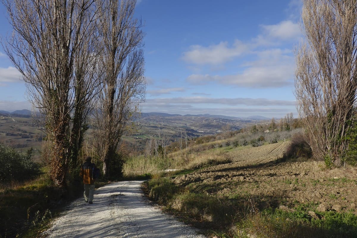
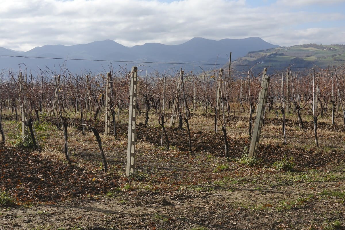
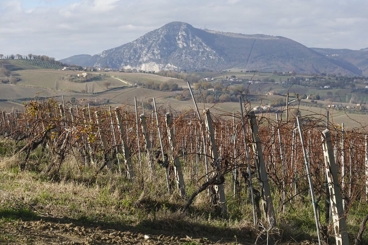
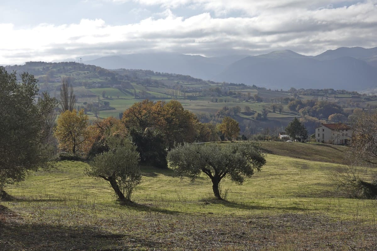
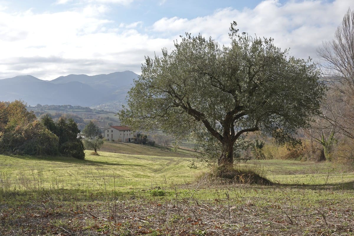
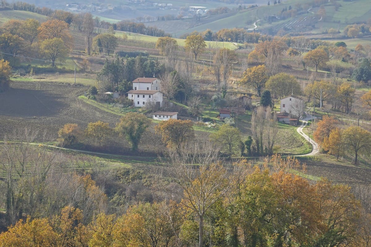
The tour also leads past vineyards and olive trees, typical of our municipality.
In summer you can occasionally benefit from the shady trees, but this only applies to part of the route.
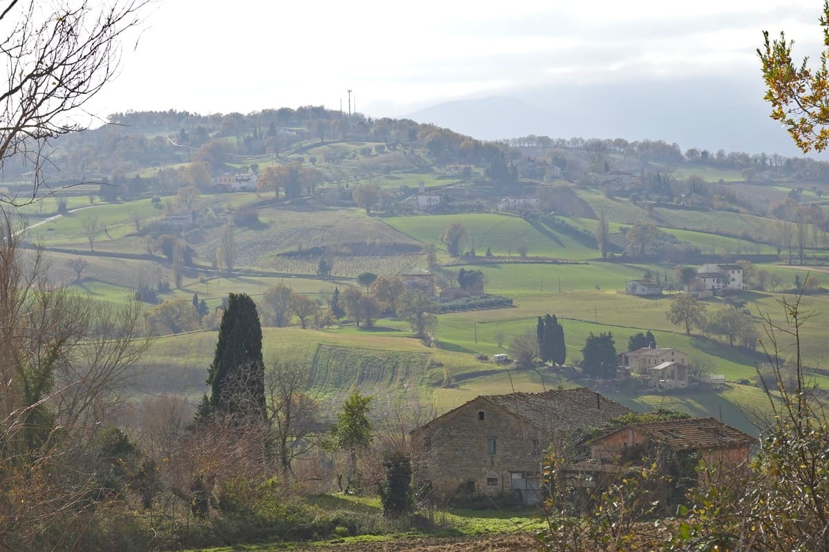
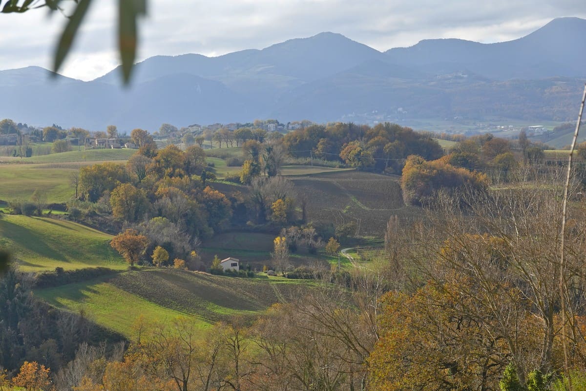
The panoramas are presented one after the other; the patchwork pattern of our landscapes provides a beautiful effect!
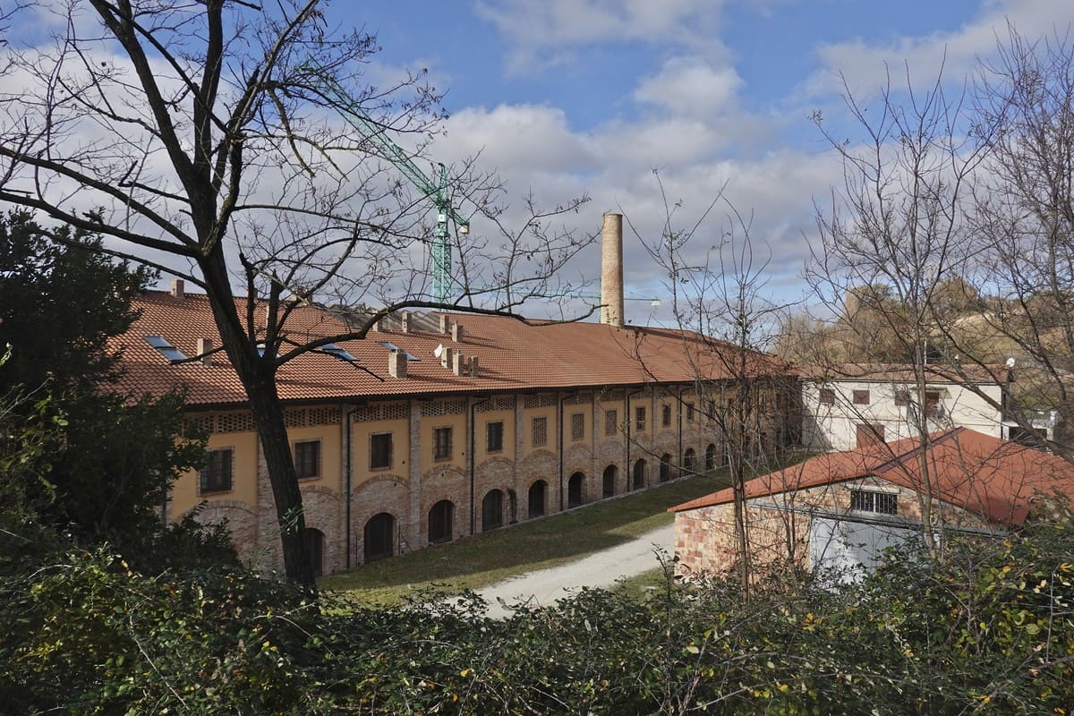
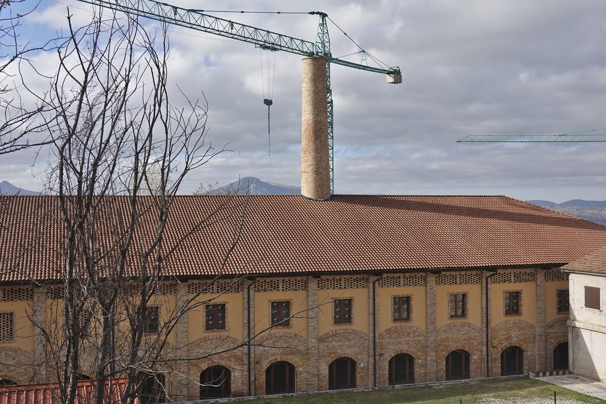
The last part is the toughest part because now we have to go back up to Cupramontana, the highest point in the area (505 meters high). This takes past an old brick factory where bricks and roof tiles used to be made. Nowadays converted into social housing, a professional kitchen and 2 huge rooms.
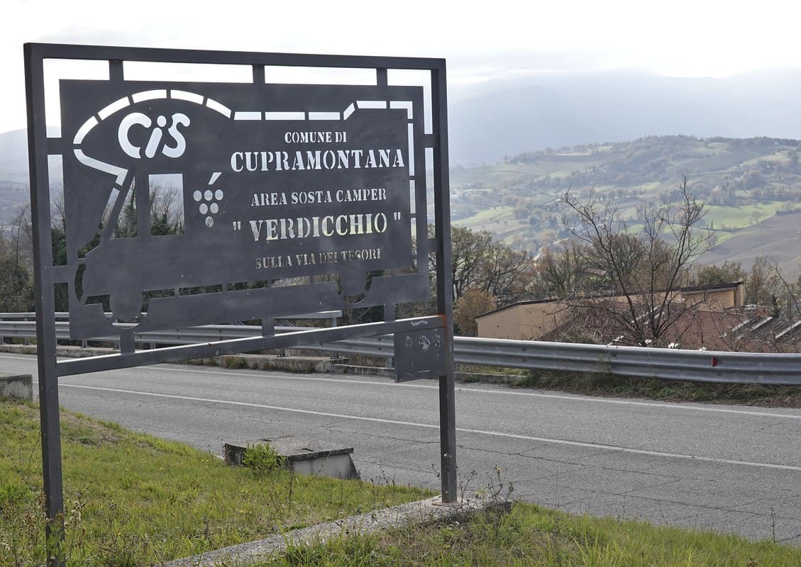
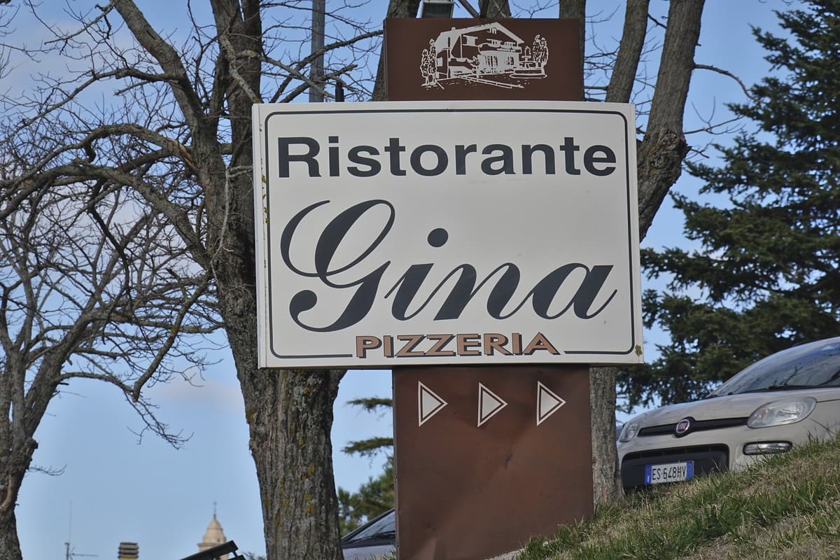
The climb ends here and Isabelle and Erik end up at the municipality’s camper place. If you are hungry you can always go to Ristorante Gina. From here it is only a few minutes’ walk to the departure point.
The walk can also be cycled and is 5.6 km long. The height difference is approximately 179 meters. In this text we have not described the walk in detail, as you simply have to follow the arrows. You still have your booklet or the downloaded map as an aid.
We wish you all una buona passeggiata.
Would you like to take walks in this municipality or nearby? Always welcome to the walking group that departs every Saturday morning from the water house in Cupramontana at 8 am. Most tours last half a day.
0 Comments