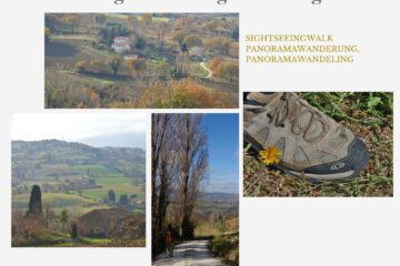
After some exploring down south, it’s time to head back north again! Isabelle and Erik and their hiking boots went for the hike to the castle of Pietrarubbia and the special rock formation Pietrafagnana.


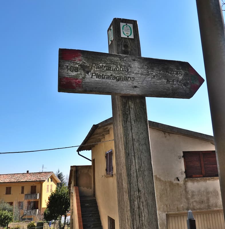
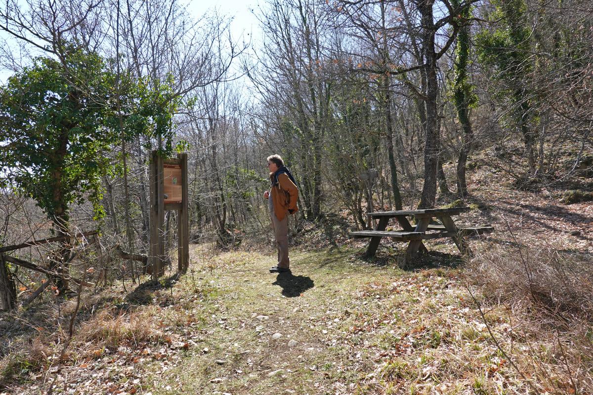
These two places are in the middle of the Interregional Natural Park of Sasso Simone e Simoncello, located in Le Marche and Emilia Romagna. The track to follow should have been number 108, but as it often (sadly) happens, the signs were ruined or missing. This did not discouraged Isabelle and Erik to start their hike! They took off from the hamlet of Ponte Capuccini, where they parked in the parking lot of the former visitor center of the Natural Park. Next to this building at number 145 they turned behind the house, following the path, where there was also a sign.

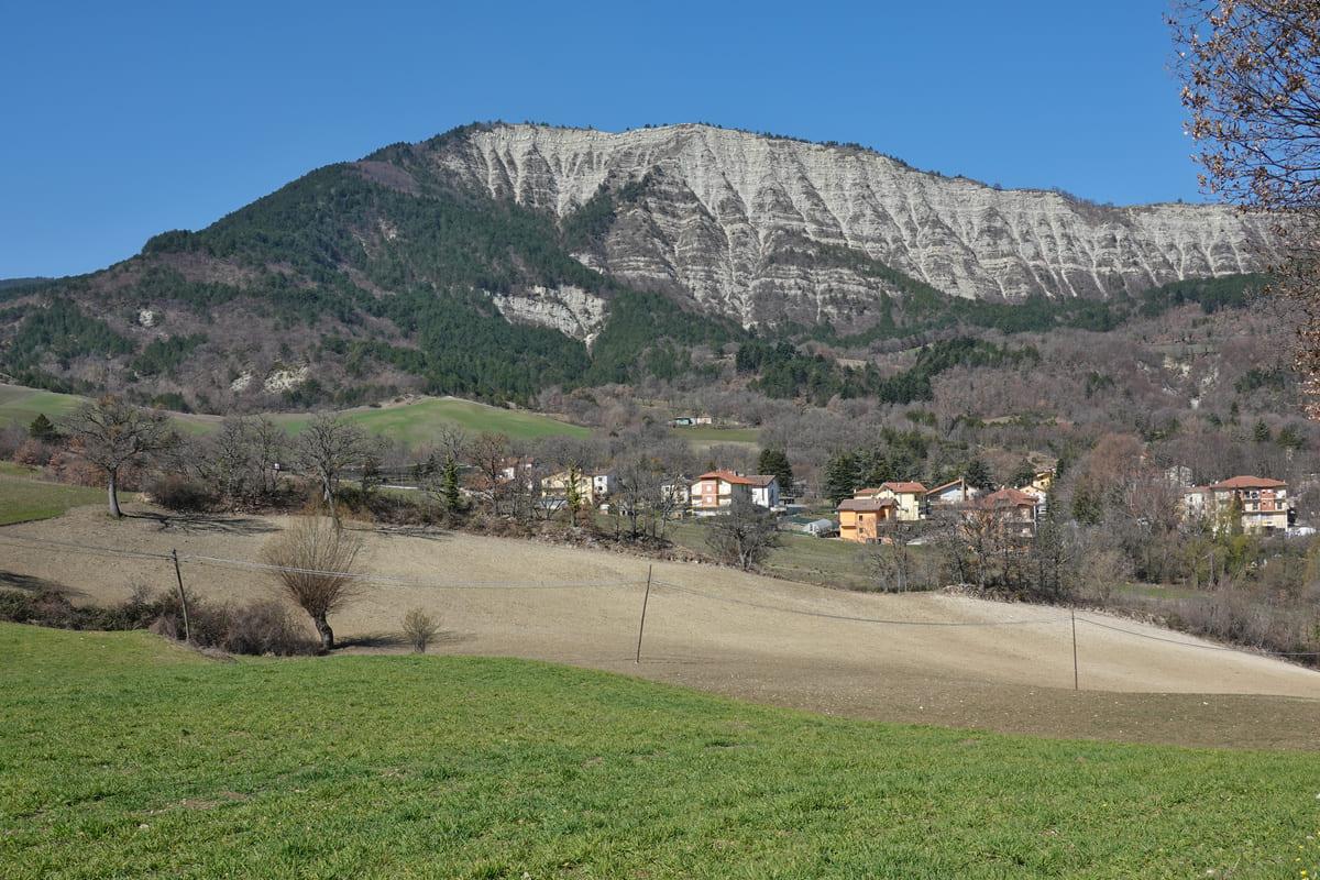
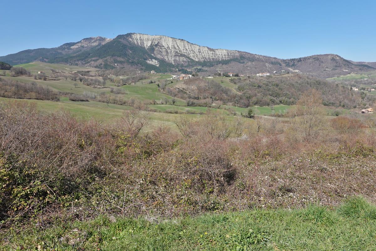
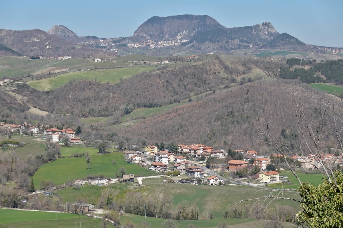
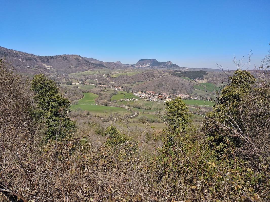
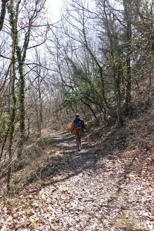
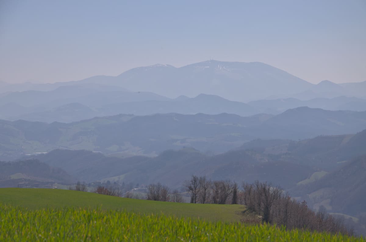
The track continues through the forest, with a magnificent view of Monte Carpegna (1415 m), the highest mountain in the area. Once reached the hamlet of Ca’Mancino, they turned left past the houses.
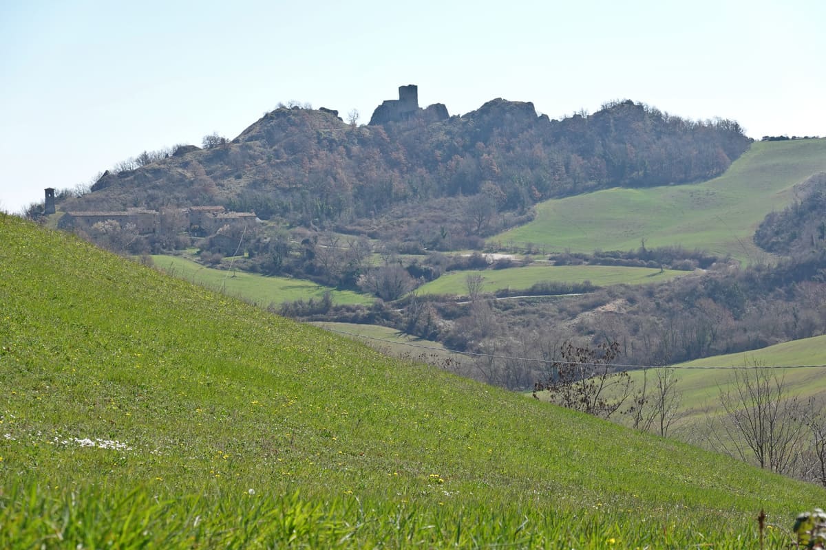
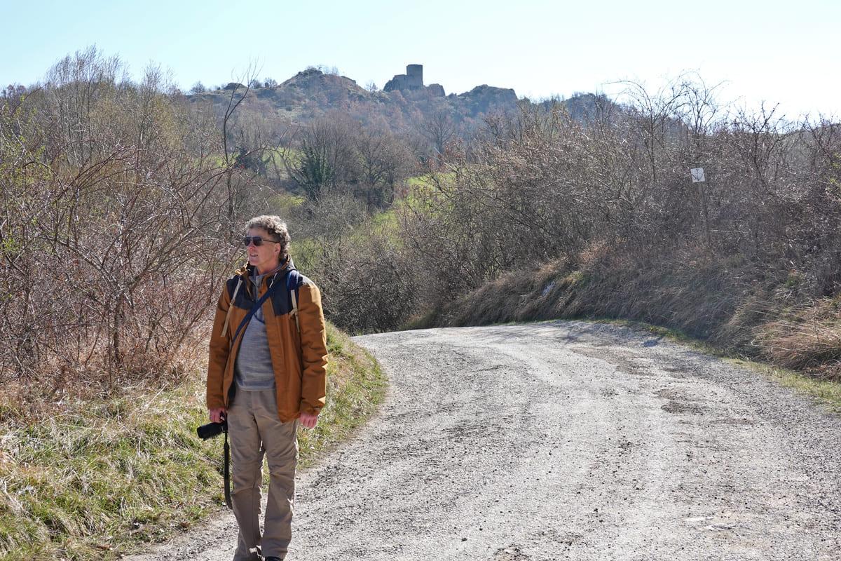
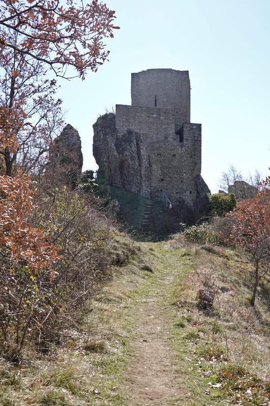
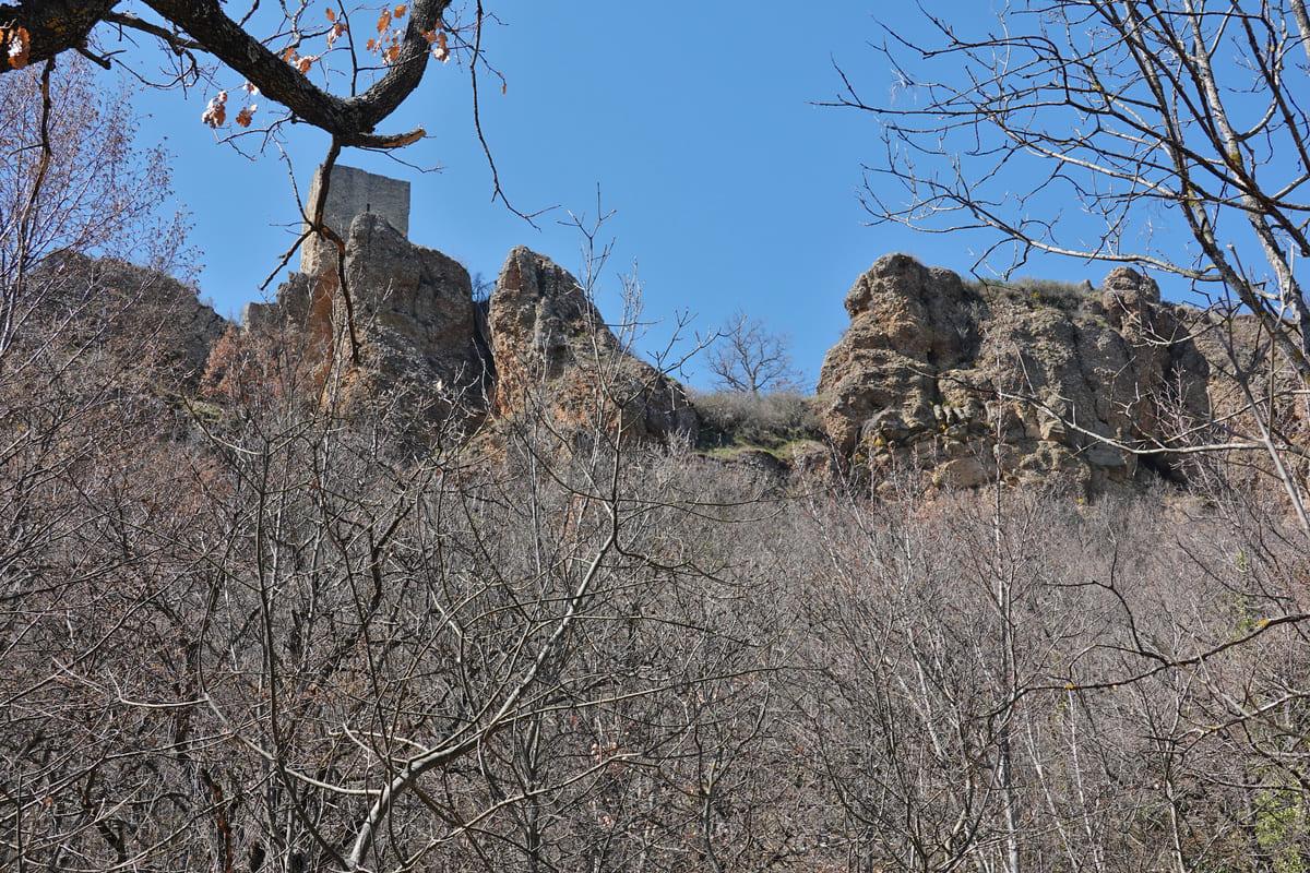
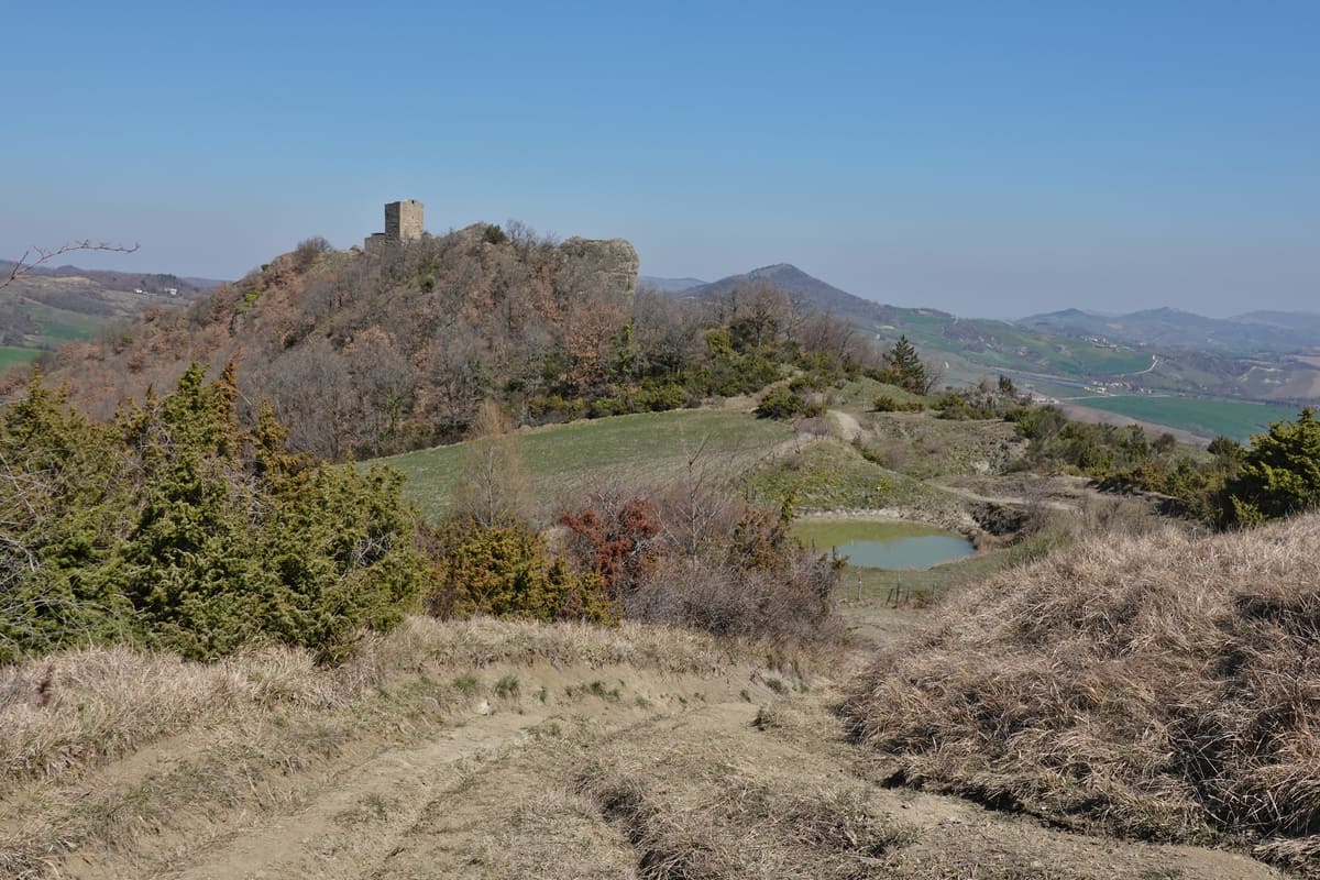
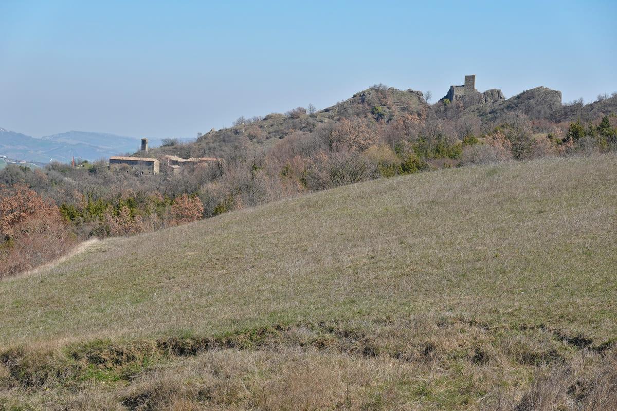
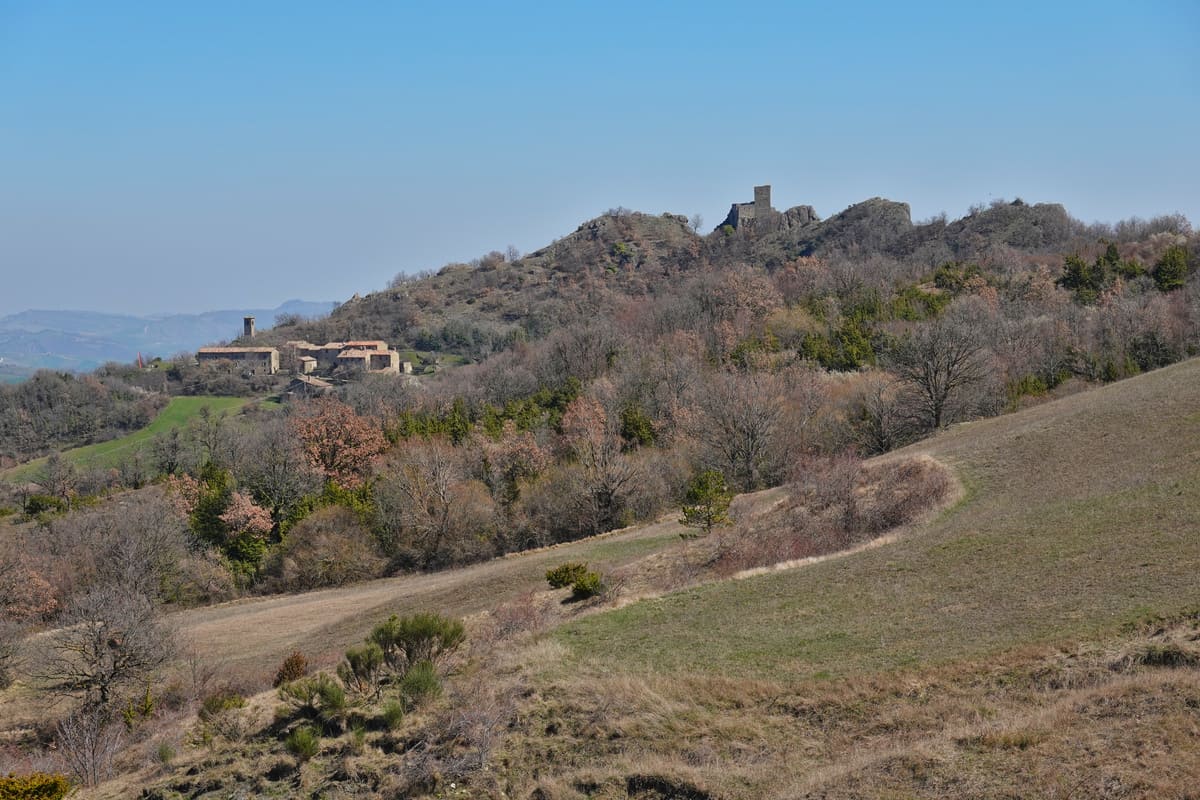
Slowly the fortress of Pietrarubbia became visible in the distance, as well as the rock formation. That way you know which direction to follow. Yet another (unusual) means of orientation: the yellow poles of the electric line. Although strange at first for Isabelle and Erik to lay kilometers of pipelines in mainly uninhabited area, they soon realised that the castle village of Pietrarubbia turned out to have been transformed into a hotel/restaurant/bar and museums.

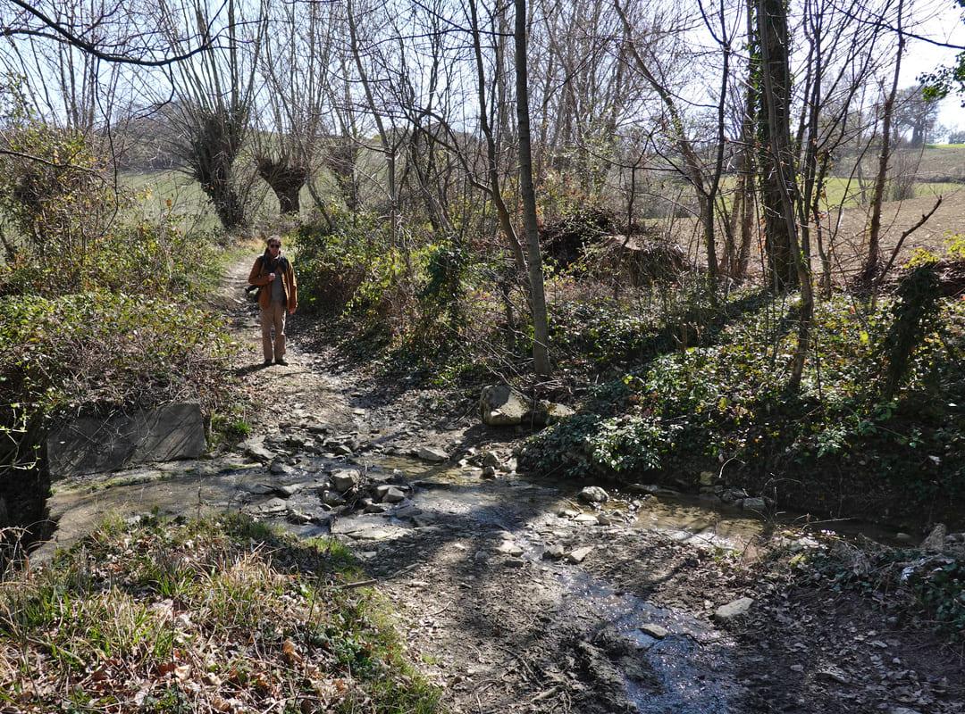
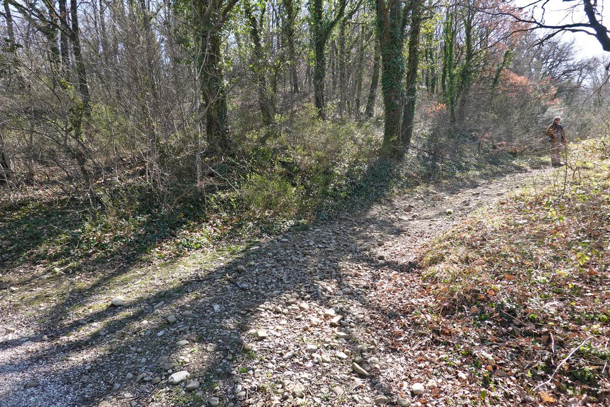
The walking path varied from paved, to unpaved to asphalted..
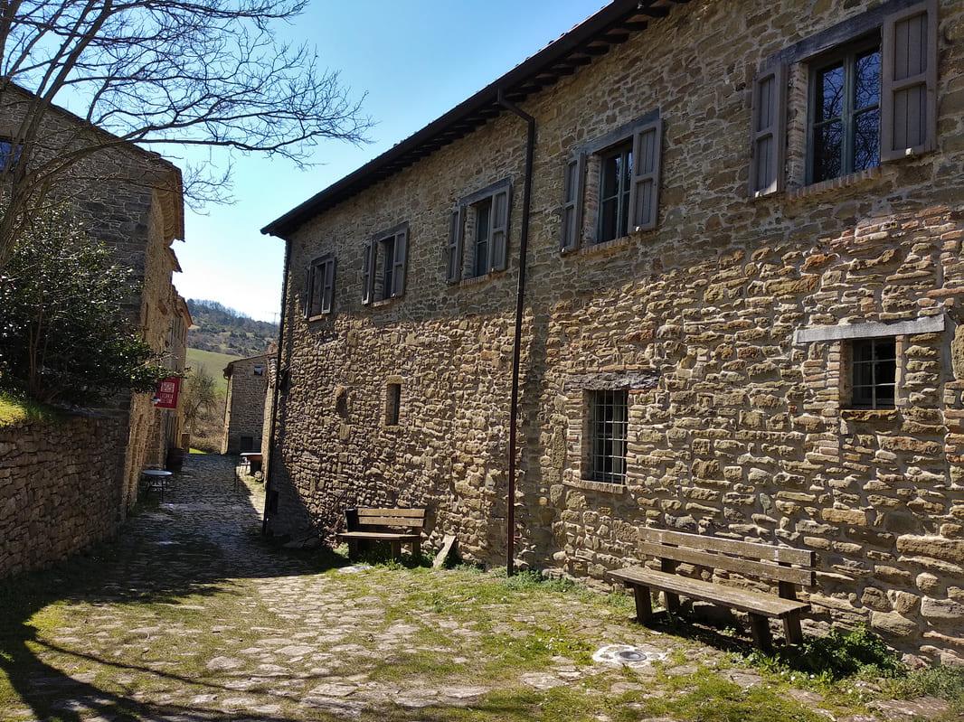
After walking for more than an hour and a half, they reached the historic hamlet of Pietrarubbia, which today contains a hotel, restaurant and several museums. The name Pietrarubbia comes from Pietra Rubea or the red stone, the color of the rocks in the area. The first written documents about the castle and the village date from 1100, with the Counts of Carpegna as owners. As an optimal position, Pietrarubbia could repeatedly witness various battles, struggles between the lords Montefeltro of the north of Le Marche and the lords Malatesta of Rimini, between the Guelphs (popularists) and Ghibellines (emperors).
It became completely uninhabited in the 1960s.
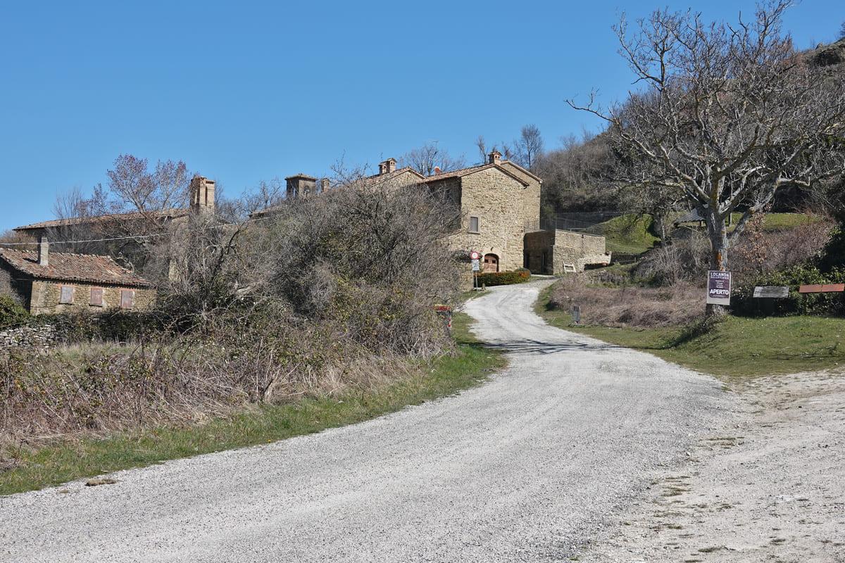

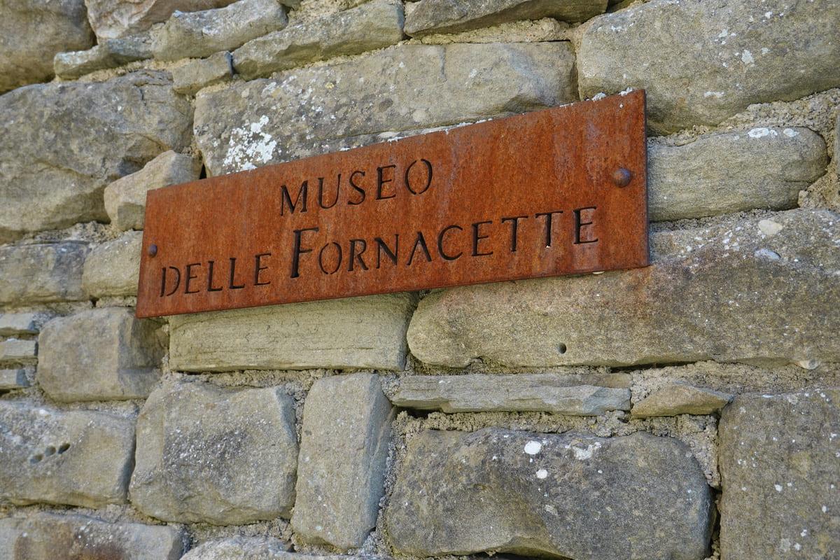
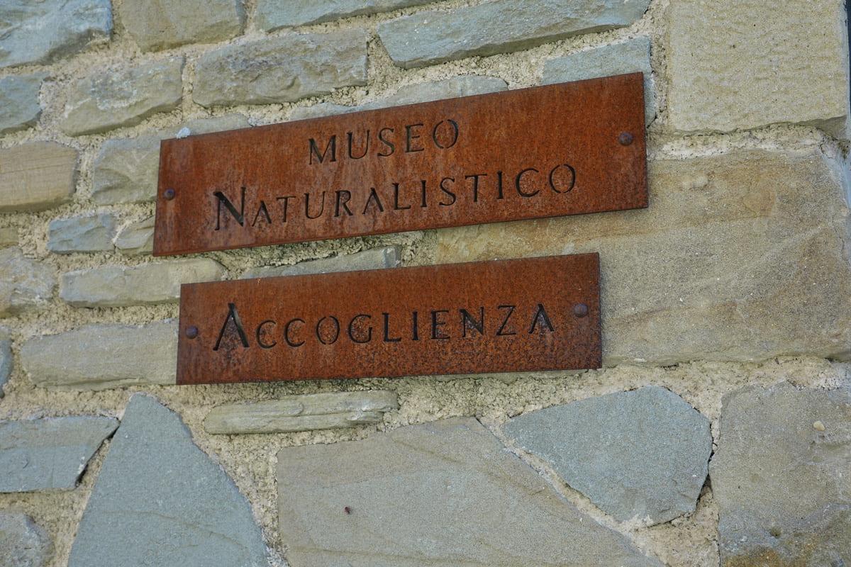
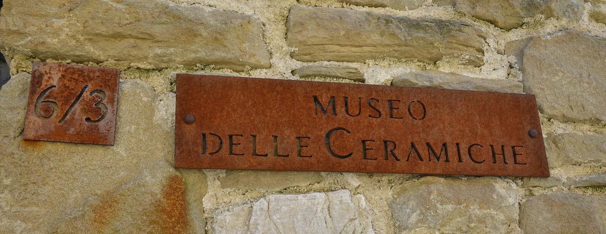
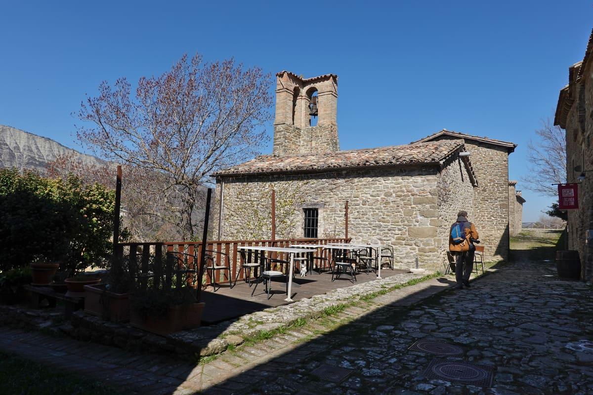
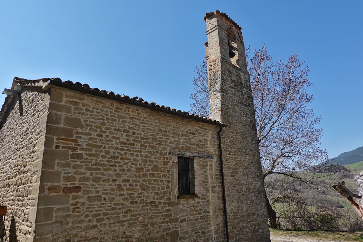
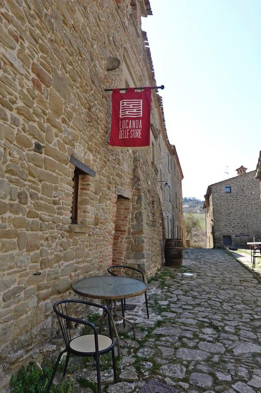
Fortunately, the famous artist Arnaldo Pomodoro, who was from the area, took care of the ruins and had it restored. He founded an art center there and designed an altar in the old church of San Silvestro (15th century). But he also created a museum with some of his works in the old palazzo Gentilizio (16th century) which also houses the art museum. The other museums, such as those of ceramics and ironwork, can be found at the beginning of the village. Unfortunately everything was still close at the time they visited, as it was in early season.
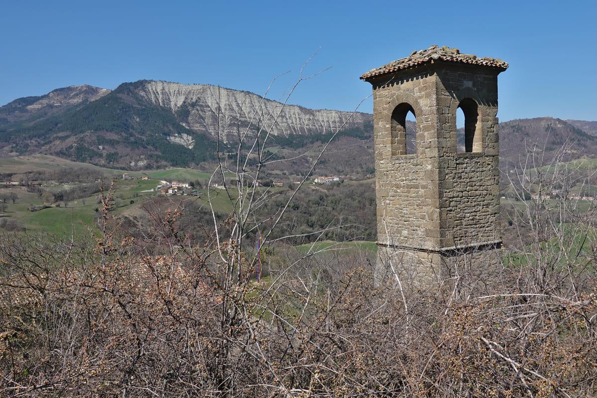
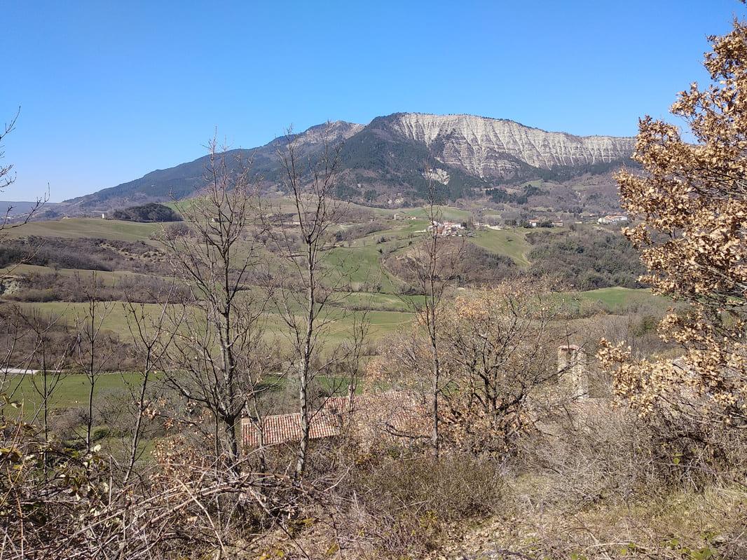
On the outside of the village they noticed a vast view over the landscape and an old tower.
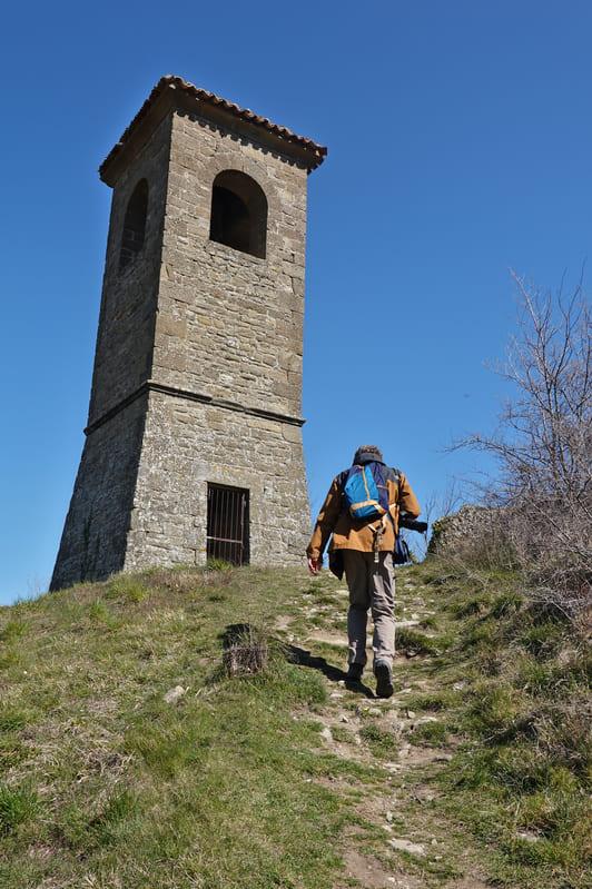
Right past the tower they took the path towards the castle. It was a bit of climbing

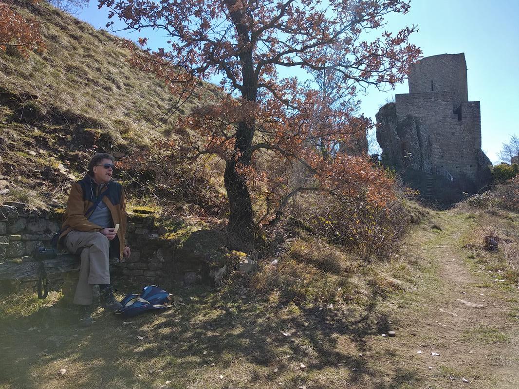

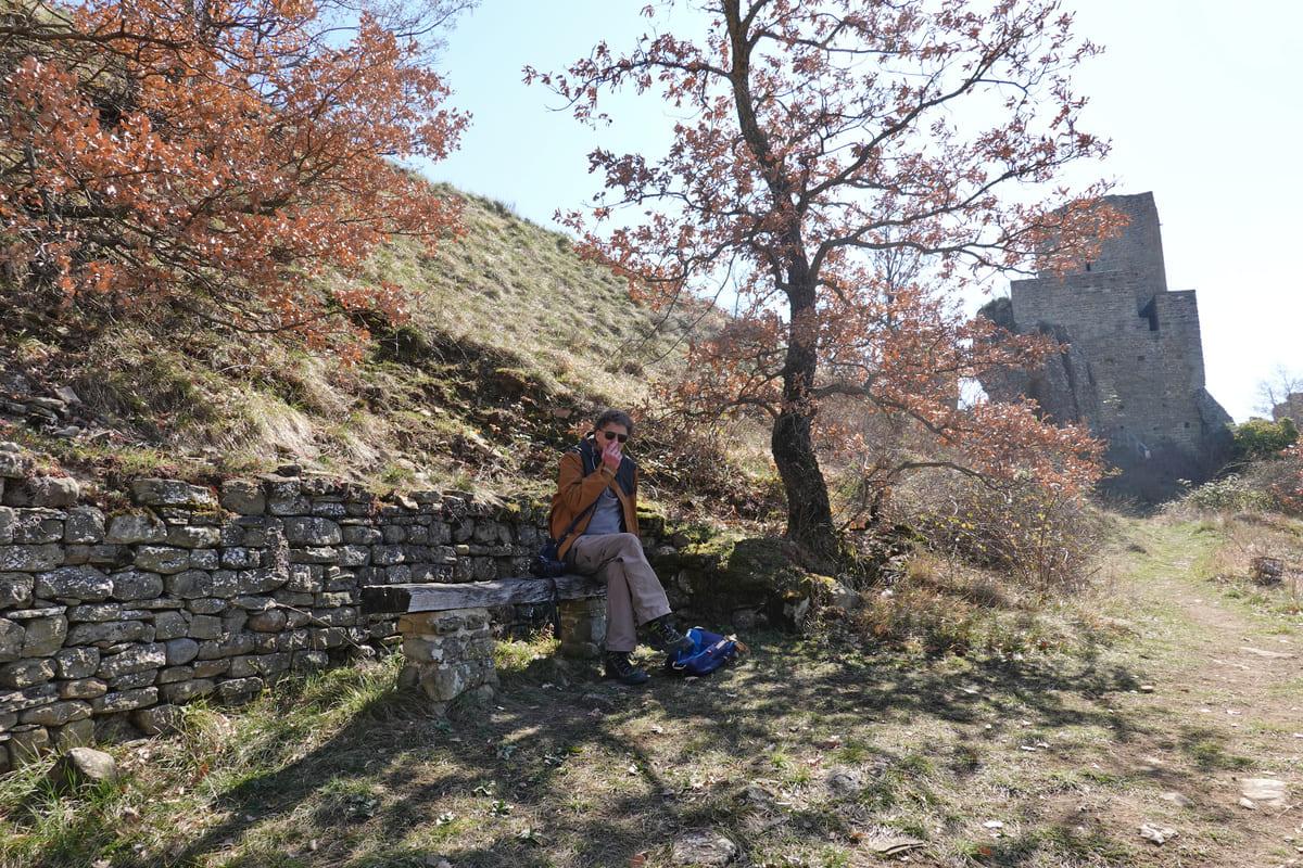
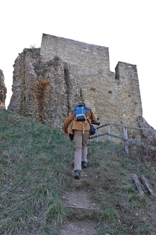
On the way they read on a sign that the road was not recommended for children, but they thought the path was doable. The castle itself could not be reached and they returned to the tower, because the path to the rock formation Pietrafagnana ran to the left of the tower.
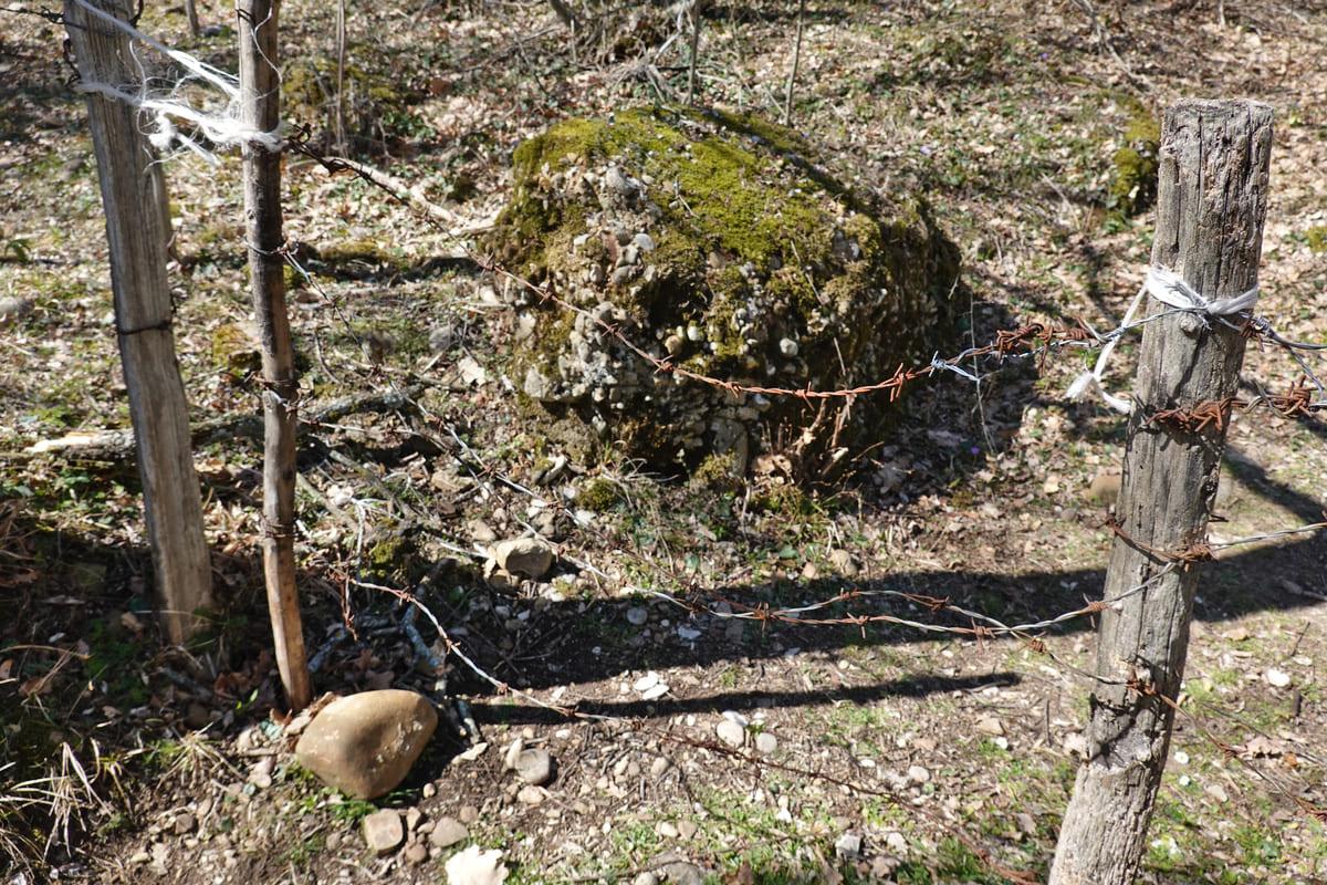
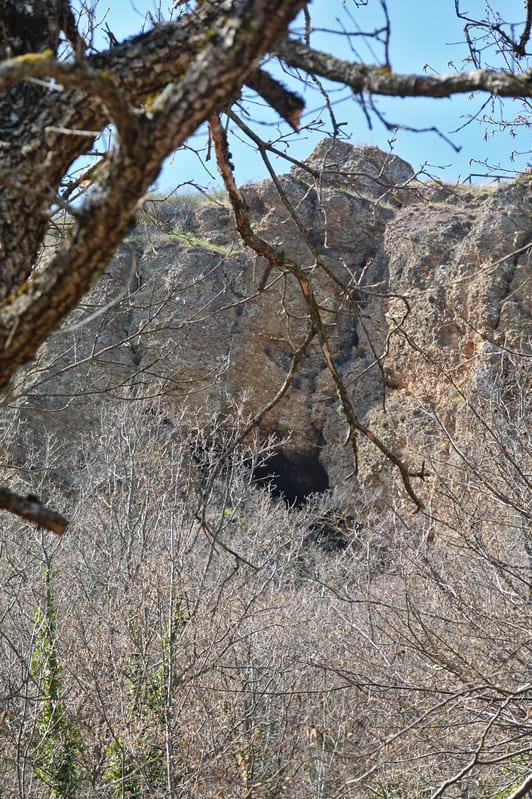
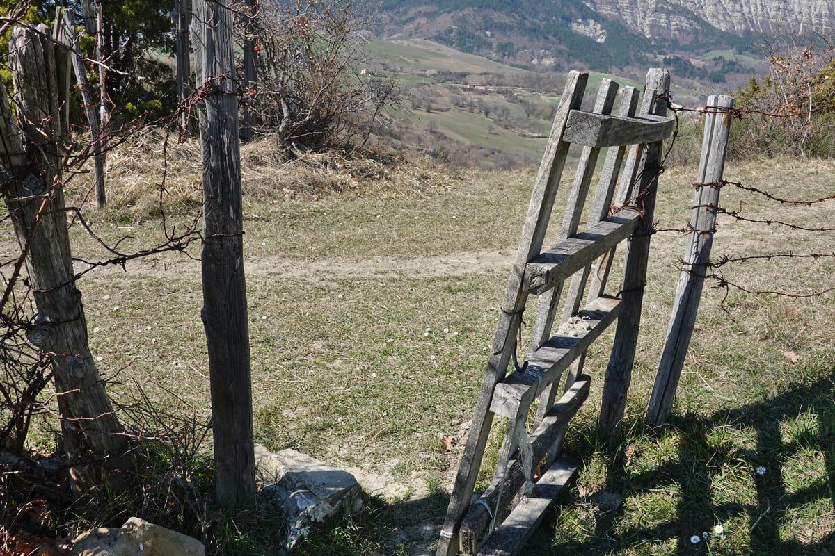
A sign stated that this was also the path to the black cave. Indeed, a little higher up we saw a cave opening. Furthermore, they occasionally came across a fence with barbed wire, which we could simply open.

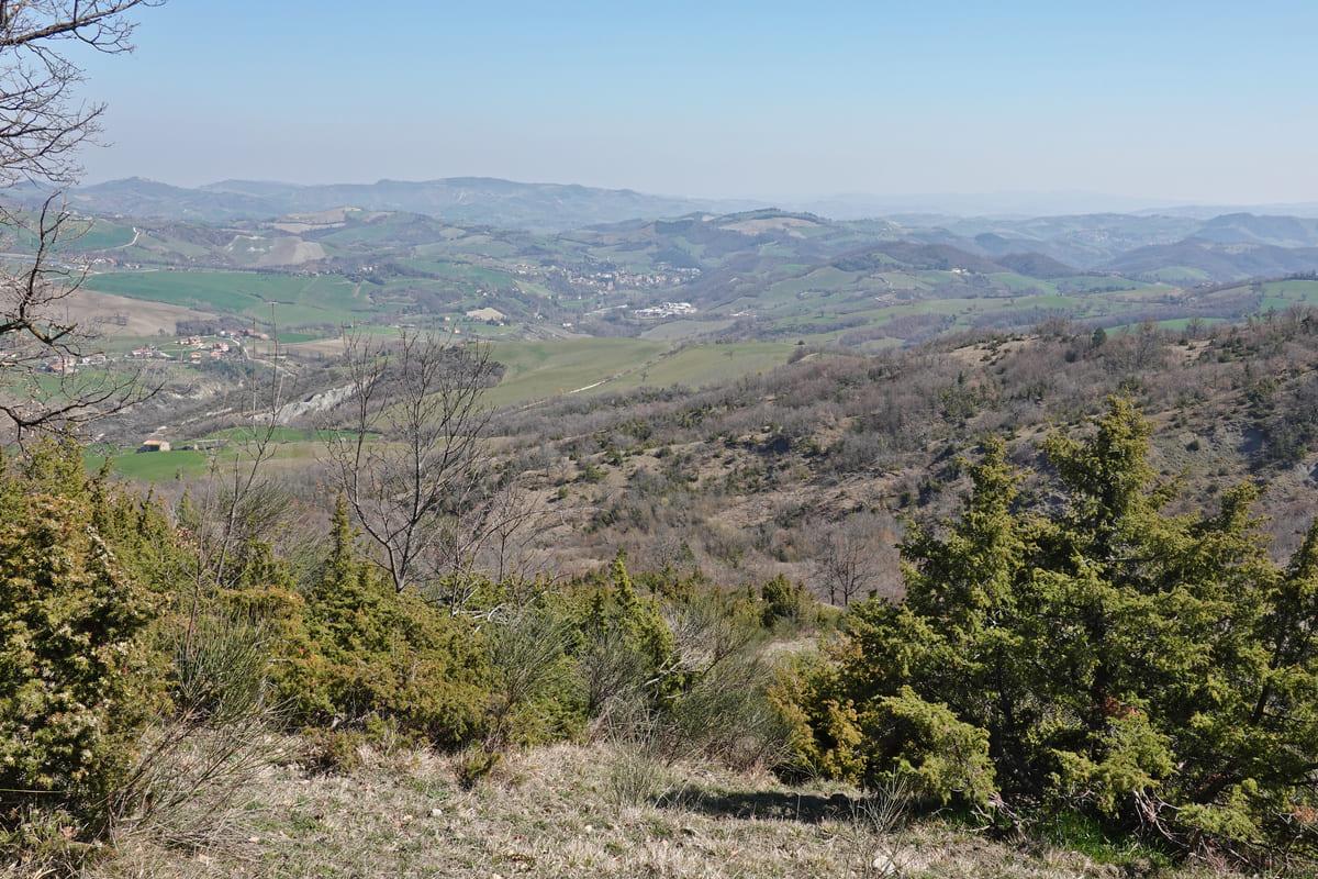
The road gradually widened, the panoramas alternated.

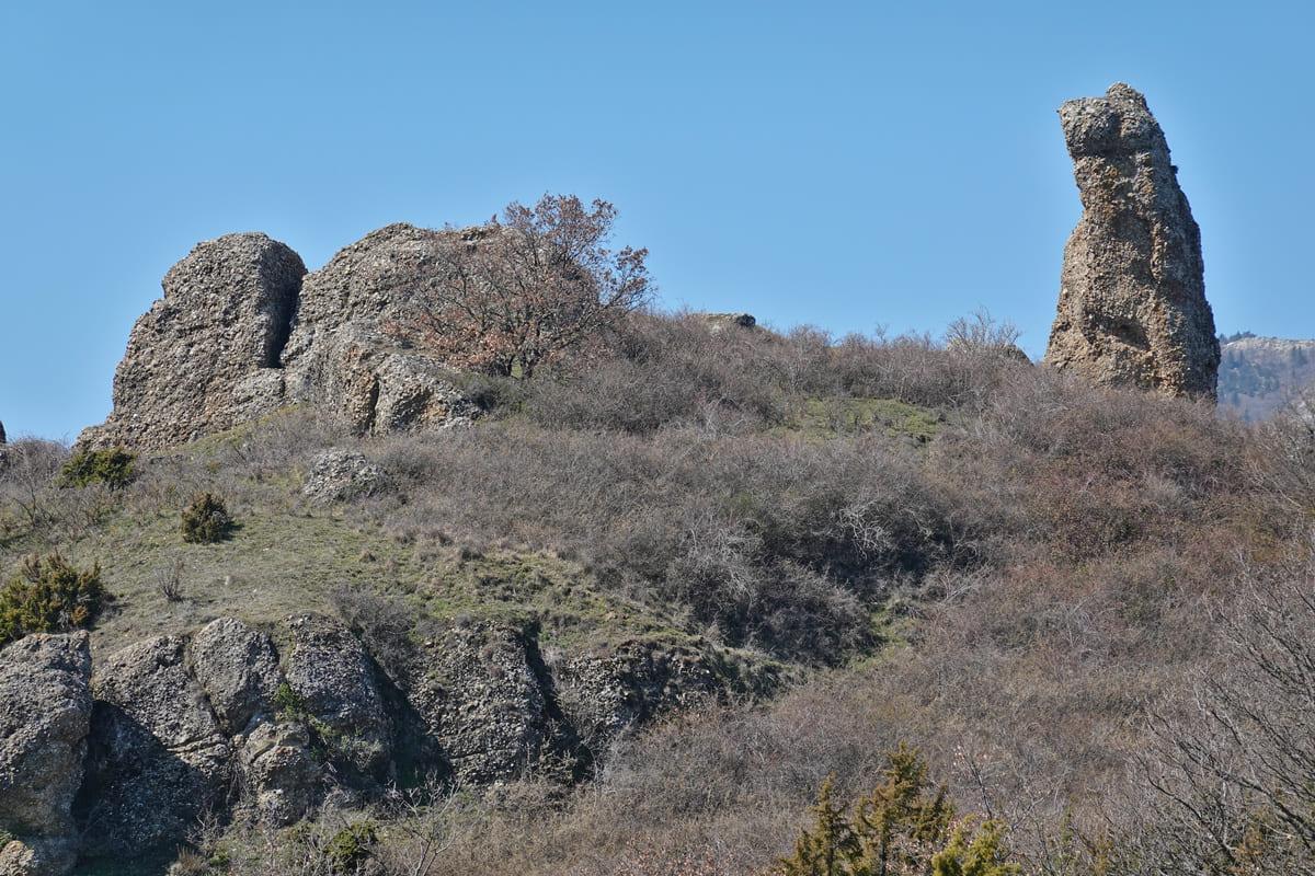
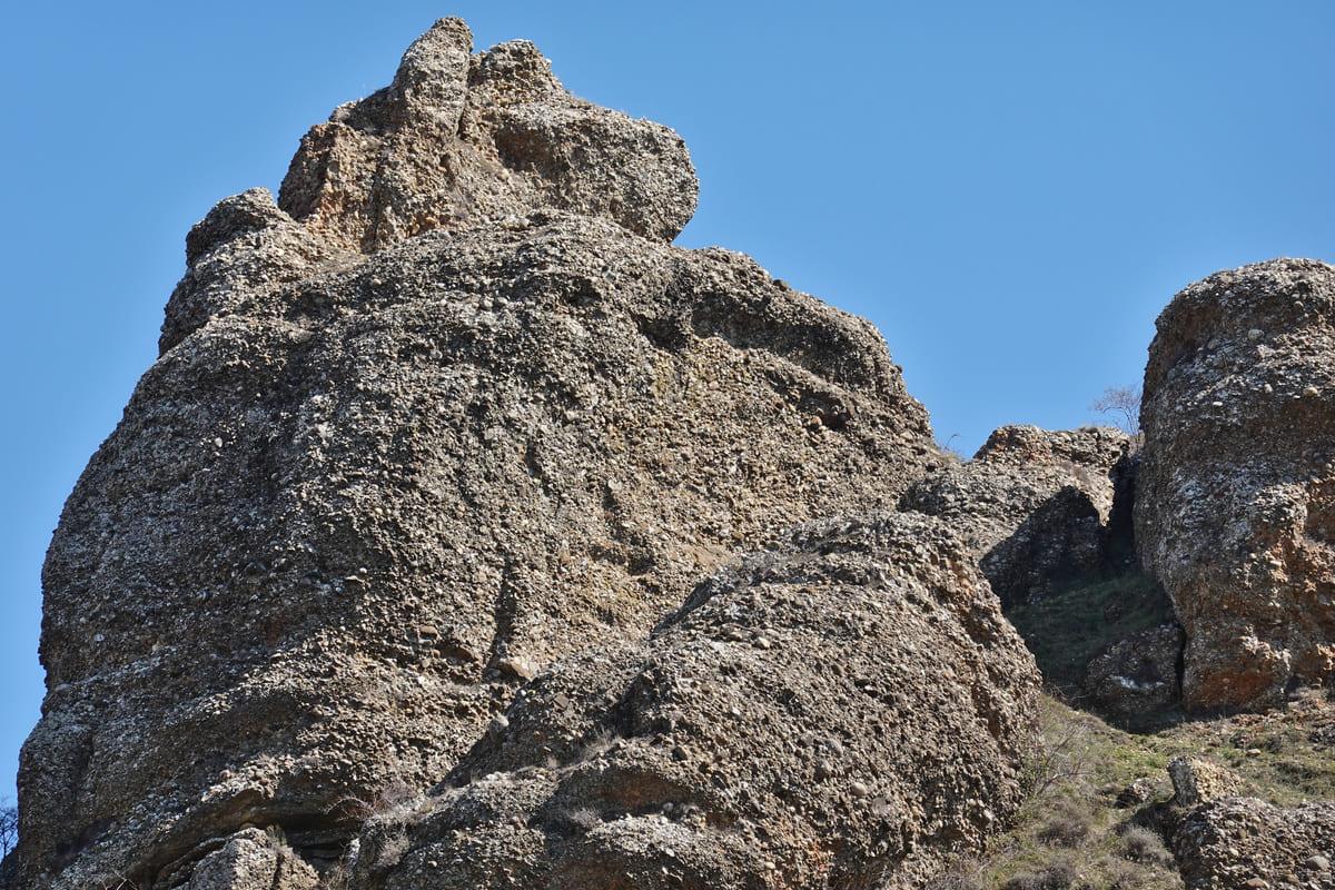
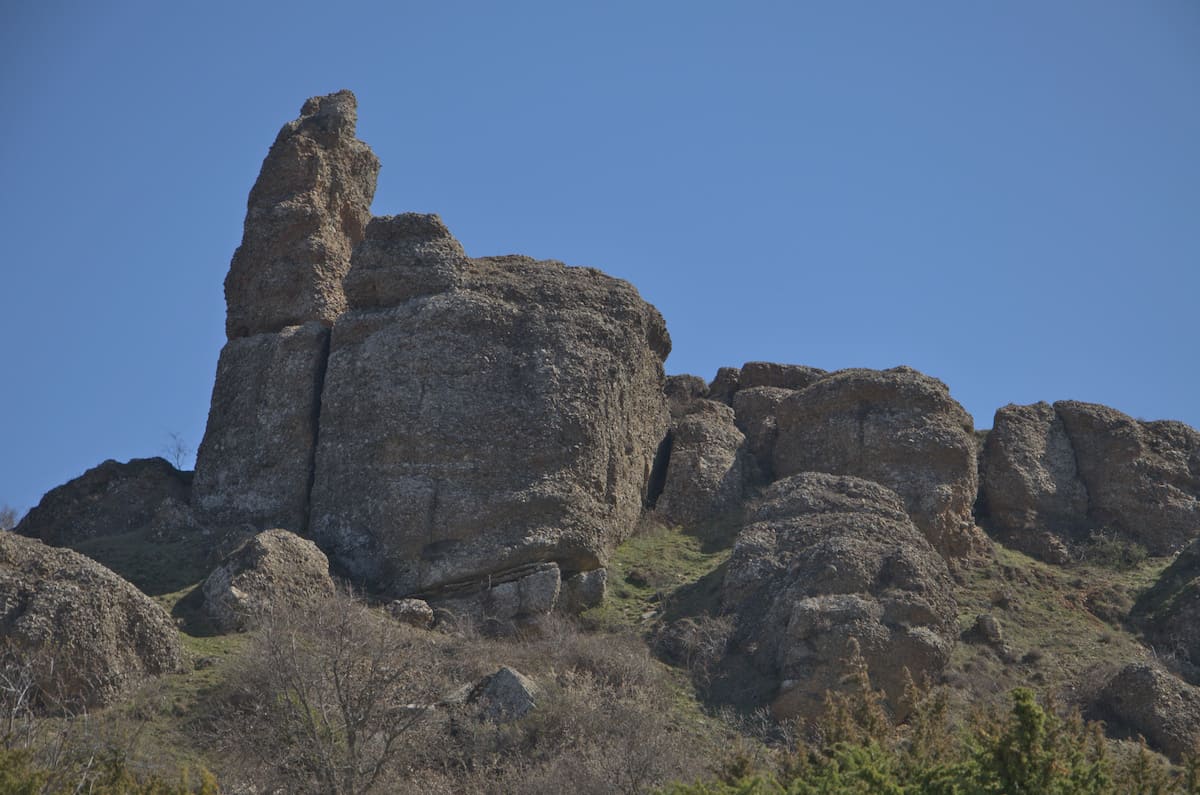
They approached the rock formation, but did not reach the stones themselves, everything was closed with barbed wire. But we saw enough of the natural phenomenon, which is popularly called either Dito del Diavolo (devil’s finger) or Dito del Gigante (giant’s finger). According to a legend, the region has been plagued by a giant for years. The populace rebelled against him and a fissure in the earth, caused by an earthquake, eventually swallowed him. But not at all because the giant still managed to get his finger to stick out.
This rock is a conglomerate, usually deposited as a by-product of mountains. This would have been deposited by rivers about 5 million years ago. Due to the tectonic uplifts in which the Apennine Mountains formed and the centuries-long erosion, it finally got its current shape


The road turned into a wide strada bianca (gravel road) along which beautiful panorams and vistas over the Pietrarubbia fortress cannot be missed.

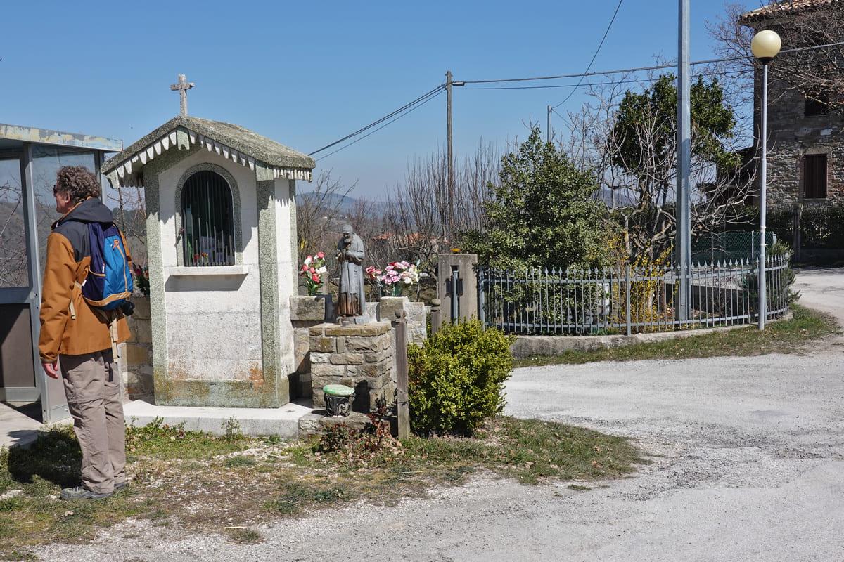
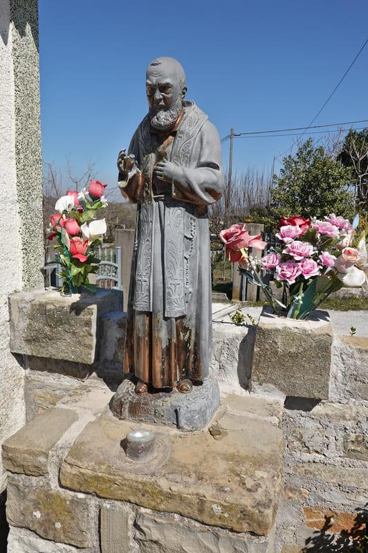
After a while they reached an asphalt road and turned right, but luckily at a chapel with a statue of padre Pio, they reached another strada bianca..

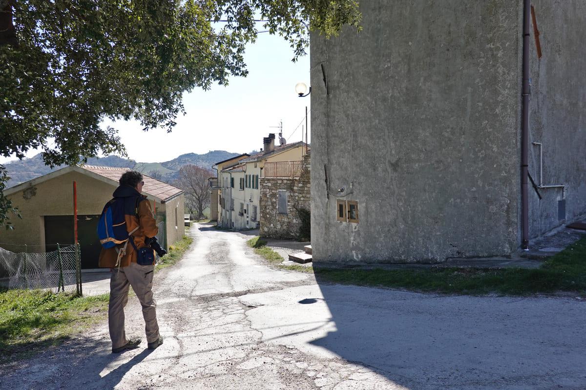
The hamlet of Ca Mancino loomed up in front of them again, so that they now turned left to follow the same road as at the start, to arrive back in Ponte Capuccini.

A walk that really paid off!
The journey took about 3 hours over a distance of 12 km. Despite the fact that the walk was given a tourist rating (= easy), Isabelle and Erik thought it was quite a tough trip, because it was constantly going up and down, which required some fitness.
Bring drinks and food with you, but in the summer you can just go to the castle village of Pietrarubbia. Maybe you even want to stay there? Or experience a festival?
For those who are not in shape or who have difficulty walking: you can easily drive to Pietrarubbia and/or to the rock formation Pietrafagnana.
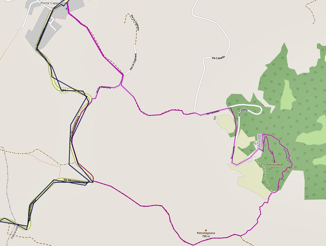
An overview of the walk:
Buona passeggiata !
0 Comments